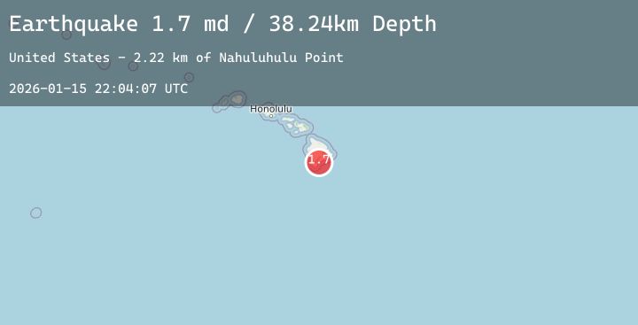
Earthquake 9 km S of Pāhala, Hawaii
Thu, 15 Jan 2026 22:04:07 GMT
Time3 hours ago
Location
19.1218, -155.4618
Depth
38.2 KM
Event Summary
A 1.8 magnitude earthquake struck on 9 km S of Pāhala, Hawaii, at Thu, 15 Jan 2026 22:04:07 GMT. Depth: 38.2400016784668km. Reviewed by USGS seismologists, this minor quake occurred at a magnitude type of md.
Magnitude
1.8
md
Source
USGS
Intensity
-
Agency Reports
3 Sources| Source | Magnitude | Depth | Time |
|---|---|---|---|
| USGSPrimary | 1.7 | 38 km | 3 hours ago |
| USGSPrimary | 1.7 | 36 km | 3 hours ago |
| USGSPrimary | 1.8 | 30 km | 2 hours ago |
Earthquake Details
AutomaticEvent IDusgs_hv74876887
Tsunami PotentialNo
Magnitude Typemd
Nearest Places
- Kamehame Beach2.6 km
- Kamehame Hill2.6 km
- Ahole Heiau2.8 km
- Pu‘upili2.9 km
- Waioala Spring3.4 km
Comments
Join the discussion about this event.
Latest Earthquakes
1.5Mag
9 km ENE of Heber, CA
Time17 minutes ago
Depth13.28 km
SourceUSGS (Automatic)
1.7Mag
5 km SE of Pearsall, Texas
Time18 minutes ago
Depth5.47 km
SourceUSGS (Automatic)
2.0Mag
62 km WNW of Aleneva, Alaska
Time23 minutes ago
Depth67.20 km
SourceUSGS (Automatic)
2.2Mag
11 km E of Skwentna, Alaska
Time26 minutes ago
Depth66.30 km
SourceUSGS (Automatic)
3.3Mag
OFF THE COAST OF EL SALVADOR
Time28 minutes ago
Depth14.00 km
SourceINET (Automatic)
Nearby Earthquakes
1.7Mag
14 km ESE of Pāhala, Hawaii
Time53 minutes ago
Depth28.20 km
SourceUSGS (Automatic)
2.4Mag
ISLAND OF HAWAII, HAWAII
Time8 hours ago
Depth45.90 km
SourceNEIC (Automatic)
1.9Mag
5 km SSW of Pāhala, Hawaii
Time15 hours ago
Depth32.84 km
SourceUSGS (Automatic)
2.7Mag
6 km SW of Volcano, Hawaii
Time19 hours ago
Depth2.27 km
SourceUSGS (Automatic)
2.7Mag
ISLAND OF HAWAII, HAWAII
Time21 hours ago
Depth32.60 km
SourceHV (Automatic)