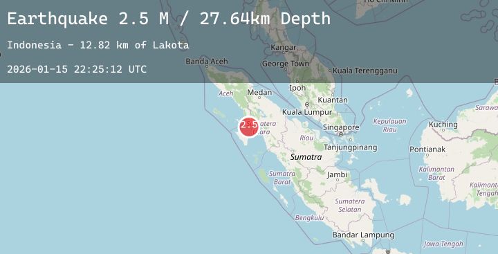
Earthquake Northern Sumatra, Indonesia
Thu, 15 Jan 2026 22:25:12 GMT
Time1 hour ago
Location
1.7420, 97.9834
Depth
21.0 KM
Event Summary
A 2.5 magnitude earthquake struck on Northern Sumatra, Indonesia, at Thu, 15 Jan 2026 22:25:12 GMT. Depth: 21.041218km. Reviewed by BMKG seismologists, this minor quake occurred at a magnitude type of M.
Magnitude
2.5
M
Source
BMKG
Intensity
-
Agency Reports
1 Sources| Source | Magnitude | Depth | Time |
|---|---|---|---|
| BMKGPrimary | 2.5 | 21 km | 1 hour ago |
Earthquake Details
AutomaticEvent IDbmg2026bbhk
Tsunami PotentialNo
Magnitude TypeM
Nearest Places
- Lakota13.2 km
- Doris34.2 km
- Pulau Bintanah36.1 km
- Rajaudat41.8 km
- Pulau Panjang44.8 km
Comments
Join the discussion about this event.
Latest Earthquakes
2.0Mag
Flores Sea
Time1 hour ago
Depth10.96 km
SourceBMKG (Automatic)
1.9Mag
17 km NW of North Las Vegas, Nevada
Time1 hour ago
Depth15.94 km
SourceUSGS (Automatic)
1.9Mag
24 km ENE of Skwentna, Alaska
Time1 hour ago
Depth63.80 km
SourceUSGS (Automatic)
3.3Mag
Northern Sumatra, Indonesia
Time1 hour ago
Depth10.00 km
SourceBMKG (Automatic)
3.5Mag
AEGEAN SEA
Time2 hours ago
Depth14.80 km
SourceNOA (Automatic)
Nearby Earthquakes
No significant earthquakes nearby recently.