Earthquake Northern Molucca Sea
Fri, 16 Jan 2026 00:42:22 GMT
Time1 hour ago
Location
0.3656, 125.3332
Depth
13.7 KM
Event Summary
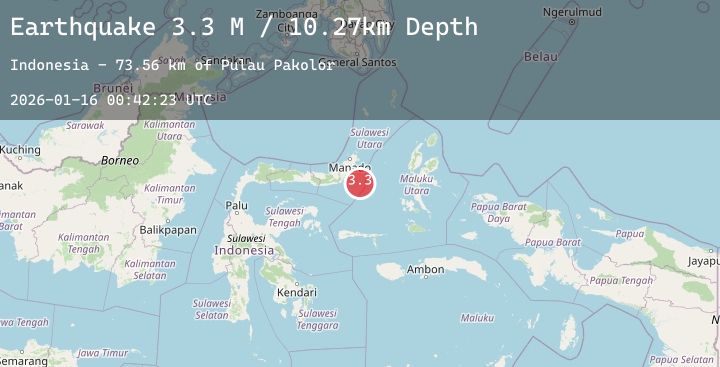
A 3.4 magnitude earthquake struck on Northern Molucca Sea, at Fri, 16 Jan 2026 00:42:22 GMT. Depth: 13.651406km. Reviewed by BMKG seismologists, this minor quake occurred at a magnitude type of M.
Magnitude
3.4
M
Source
BMKG
Intensity
-
Agency Reports
1 Sources| Source | Magnitude | Depth | Time |
|---|---|---|---|
| BMKGPrimary | 3.4 | 14 km | 1 hour ago |
Earthquake Details
AutomaticEvent IDbmg2026bbly
Tsunami PotentialNo
Magnitude TypeM
Nearest Places
- Maluku Sea75.6 km
- Pulau Pakolor80.2 km
- Pulau Balingbaling81.7 km
- Pulau Bentenan82.5 km
- Pulau Punten82.5 km
Comments
Join the discussion about this event.
Latest Earthquakes
1.6Mag
4 km ENE of Santa Margarita, CA
Time1 hour ago
Depth4.76 km
SourceUSGS (Automatic)
2.1Mag
West Papua Region, Indonesia
Time1 hour ago
Depth10.00 km
SourceBMKG (Automatic)
0.7Mag
23 km ENE of Minto, Alaska
Time1 hour ago
Depth5.00 km
SourceUSGS (Automatic)
2.5Mag
Minahassa Peninsula, Sulawesi
Time2 hours ago
Depth67.94 km
SourceBMKG (Automatic)
4.3Mag
TAIWAN
Time2 hours ago
Depth51.70 km
SourceCWB (Automatic)
Nearby Earthquakes
No significant earthquakes nearby recently.