Earthquake Northern Molucca Sea
Fri, 16 Jan 2026 11:09:09 GMT
Time4 hours ago
Location
1.2822, 126.3906
Depth
32.7 KM
Event Summary
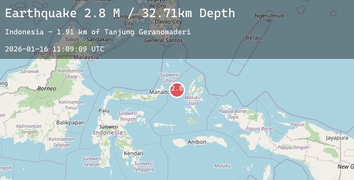
A 2.8 magnitude earthquake struck on Northern Molucca Sea, at Fri, 16 Jan 2026 11:09:09 GMT. Depth: 32.712948km. Reviewed by BMKG seismologists, this minor quake occurred at a magnitude type of M.
Magnitude
2.8
M
Source
BMKG
Intensity
-
Agency Reports
1 Sources| Source | Magnitude | Depth | Time |
|---|---|---|---|
| BMKGPrimary | 2.8 | 33 km | 4 hours ago |
Earthquake Details
AutomaticEvent IDbmg2026bcgq
Tsunami PotentialNo
Magnitude TypeM
Nearest Places
- Tanjung Geranomaderi1.9 km
- Kelurahan Lelewi3.2 km
- Kecamatan Pulau Batang Dua4.7 km
- Pulau Mayu4.9 km
- Kelurahan Bido5.4 km
Comments
Join the discussion about this event.
Latest Earthquakes
2.8Mag
SAN JUAN, ARGENTINA
Time4 hours ago
Depth111.00 km
SourceNSNA (Automatic)
1.3Mag
11 km WSW of Stanton, Texas
Time4 hours ago
Depth3.68 km
SourceUSGS (Automatic)
1.1Mag
27 km WSW of Westmorland, CA
Time4 hours ago
Depth7.61 km
SourceUSGS (Automatic)
2.1Mag
Flores Region, Indonesia
Time4 hours ago
Depth87.43 km
SourceBMKG (Automatic)
3.0Mag
MINDANAO, PHILIPPINES
Time4 hours ago
Depth24.00 km
SourcePIVS (Automatic)