Earthquake Northern Molucca Sea
Fri, 16 Jan 2026 12:57:19 GMT
Time4 hours ago
Location
1.7847, 125.9121
Depth
91.4 KM
Event Summary
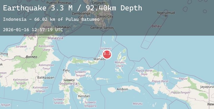
A 3.4 magnitude earthquake struck on Northern Molucca Sea, at Fri, 16 Jan 2026 12:57:19 GMT. Depth: 91.437187km. Reviewed by BMKG seismologists, this minor quake occurred at a magnitude type of M.
Magnitude
3.4
M
Source
BMKG
Intensity
-
Agency Reports
1 Sources| Source | Magnitude | Depth | Time |
|---|---|---|---|
| BMKGPrimary | 3.4 | 91 km | 4 hours ago |
Earthquake Details
AutomaticEvent IDbmg2026bcke
Tsunami PotentialNo
Magnitude TypeM
Nearest Places
- Pulau Batumeo66.2 km
- Tonggeng Kalioho66.3 km
- Tonggeng Bahu66.4 km
- Tonggeng Lensehe66.7 km
- Teluk Karira67.2 km
Comments
Join the discussion about this event.
Latest Earthquakes
2.7Mag
Java, Indonesia
Time4 hours ago
Depth84.03 km
SourceBMKG (Automatic)
1.3Mag
WESTERN TURKEY
Time4 hours ago
Depth6.20 km
SourceAFAD (Automatic)
1.5Mag
18 km W of Winters, CA
Time4 hours ago
Depth6.38 km
SourceUSGS (Automatic)
2.7Mag
Seram, Indonesia
Time4 hours ago
Depth41.85 km
SourceBMKG (Automatic)
3.2Mag
Halmahera, Indonesia
Time4 hours ago
Depth111.95 km
SourceBMKG (Automatic)