Earthquake Flores Sea
Fri, 16 Jan 2026 15:13:18 GMT
Time2 hours ago
Location
-7.8902, 118.7532
Depth
38.7 KM
Event Summary
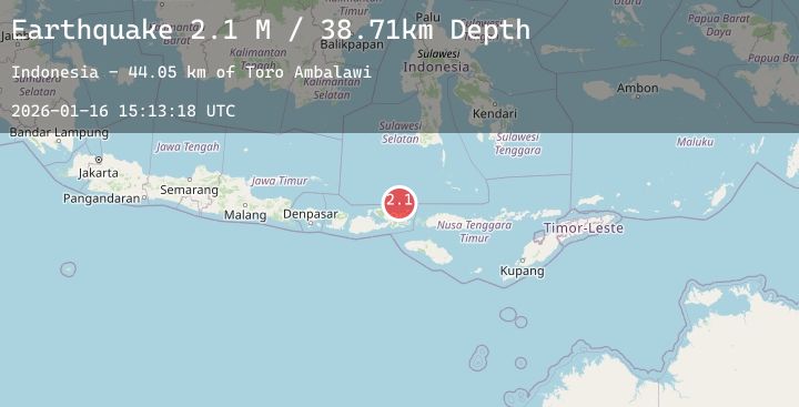
A 2.1 magnitude earthquake struck on Flores Sea, at Fri, 16 Jan 2026 15:13:18 GMT. Depth: 38.713593km. Reviewed by BMKG seismologists, this minor quake occurred at a magnitude type of M.
Magnitude
2.1
M
Source
BMKG
Intensity
-
Agency Reports
1 Sources| Source | Magnitude | Depth | Time |
|---|---|---|---|
| BMKGPrimary | 2.1 | 39 km | 2 hours ago |
Earthquake Details
AutomaticEvent IDbmg2026bcor
Tsunami PotentialNo
Magnitude TypeM
Nearest Places
- Toro Ambalawi44.0 km
- Tanjung Ambalawi44.4 km
- Sori Ambalawi44.4 km
- Ambalawi44.4 km
- Sori Mawu44.7 km
Comments
Join the discussion about this event.
Latest Earthquakes
4.5Mag
Banda Sea
Time2 hours ago
Depth424.36 km
SourceBMKG (Automatic)
2.6Mag
SOUTHERN TEXAS
Time2 hours ago
Depth10.80 km
SourceTX (Automatic)
2.1Mag
West Papua Region, Indonesia
Time2 hours ago
Depth10.00 km
SourceBMKG (Automatic)
2.4Mag
AEGEAN SEA
Time2 hours ago
Depth13.00 km
SourceEMSC (Automatic)
2.2Mag
DODECANESE IS.-TURKEY BORDER REG
Time2 hours ago
Depth7.00 km
SourceEMSC (Automatic)
Nearby Earthquakes
2.5Mag
Sumbawa Region, Indonesia
Time3 hours ago
Depth11.46 km
SourceBMKG (Automatic)
2.9Mag
Flores Sea
Time3 hours ago
Depth282.44 km
SourceBMKG (Automatic)
2.5Mag
Flores Sea
Time5 hours ago
Depth19.85 km
SourceBMKG (Automatic)
2.5Mag
Flores Sea
Time9 hours ago
Depth39.36 km
SourceBMKG (Automatic)
2.0Mag
Flores Sea
Time19 hours ago
Depth10.96 km
SourceBMKG (Automatic)