Earthquake West Papua Region, Indonesia
Fri, 16 Jan 2026 14:50:21 GMT
Time2 hours ago
Location
-1.6358, 133.3561
Depth
10.0 KM
Event Summary
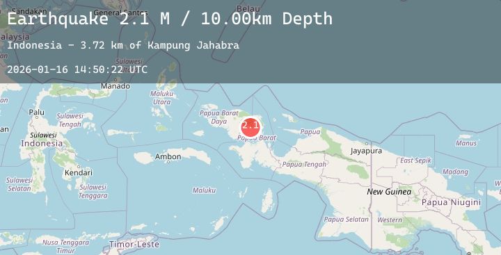
A 2.1 magnitude earthquake struck on West Papua Region, Indonesia, at Fri, 16 Jan 2026 14:50:21 GMT. Depth: 10km. Reviewed by BMKG seismologists, this minor quake occurred at a magnitude type of M.
Magnitude
2.1
M
Source
BMKG
Intensity
-
Agency Reports
1 Sources| Source | Magnitude | Depth | Time |
|---|---|---|---|
| BMKGPrimary | 2.1 | 10 km | 2 hours ago |
Earthquake Details
AutomaticEvent IDbmg2026bcnx
Tsunami PotentialNo
Magnitude TypeM
Nearest Places
- Merdei Airport6.4 km
- Sungai Cinga6.8 km
- Gunung Asmoron7.4 km
- Ibori7.7 km
- Kampung Merdey8.1 km
Comments
Join the discussion about this event.
Latest Earthquakes
2.4Mag
AEGEAN SEA
Time2 hours ago
Depth13.00 km
SourceEMSC (Automatic)
2.2Mag
DODECANESE IS.-TURKEY BORDER REG
Time2 hours ago
Depth7.00 km
SourceEMSC (Automatic)
0.9Mag
WESTERN TURKEY
Time2 hours ago
Depth7.00 km
SourceAFAD (Automatic)
1.5Mag
36 km NNW of Mentone, Texas
Time2 hours ago
Depth11.75 km
SourceUSGS (Automatic)
1.1Mag
15 km N of Warner Springs, CA
Time2 hours ago
Depth4.66 km
SourceUSGS (Automatic)