Earthquake Off West Coast of Northern Sumatra
Fri, 16 Jan 2026 19:51:31 GMT
Time4 hours ago
Location
4.9292, 94.1981
Depth
11.5 KM
Event Summary
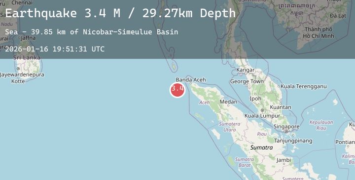
A 3.4 magnitude earthquake struck on Off West Coast of Northern Sumatra, at Fri, 16 Jan 2026 19:51:31 GMT. Depth: 11.547808km. Reviewed by BMKG seismologists, this minor quake occurred at a magnitude type of M.
Magnitude
3.4
M
Source
BMKG
Intensity
-
Agency Reports
1 Sources| Source | Magnitude | Depth | Time |
|---|---|---|---|
| BMKGPrimary | 3.4 | 12 km | 4 hours ago |
Earthquake Details
AutomaticEvent IDbmg2026bcxw
Tsunami PotentialNo
Magnitude TypeM
Nearest Places
- Nicobar-Simeulue Basin34.4 km
- Karang Sindoro104.6 km
- Jangkat Rutong117.2 km
- Pulau Rusa118.0 km
- Klappa119.0 km
Comments
Join the discussion about this event.
Latest Earthquakes
3.0Mag
South of Sumbawa, Indonesia
Time4 hours ago
Depth10.00 km
SourceBMKG (Automatic)
1.3Mag
5 km SE of Loma Linda, CA
Time4 hours ago
Depth16.27 km
SourceUSGS (Automatic)
3.3Mag
Northern Molucca Sea
Time4 hours ago
Depth97.22 km
SourceBMKG (Automatic)
1.6Mag
9 km S of Bakersfield, CA
Time4 hours ago
Depth25.30 km
SourceUSGS (Automatic)
5.4Mag
HOKKAIDO, JAPAN REGION
Time4 hours ago
Depth37.90 km
SourceNEIC (Automatic)
Nearby Earthquakes
No significant earthquakes nearby recently.