Earthquake Timor Region
Fri, 16 Jan 2026 22:11:37 GMT
Time2 hours ago
Location
-9.2975, 124.5543
Depth
143.1 KM
Event Summary
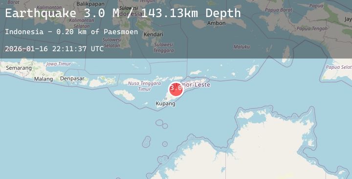
A 3.0 magnitude earthquake struck on Timor Region, at Fri, 16 Jan 2026 22:11:37 GMT. Depth: 143.133118km. Reviewed by BMKG seismologists, this minor quake occurred at a magnitude type of M.
Magnitude
3.0
M
Source
BMKG
Intensity
-
Agency Reports
1 Sources| Source | Magnitude | Depth | Time |
|---|---|---|---|
| BMKGPrimary | 3.0 | 143 km | 2 hours ago |
Earthquake Details
AutomaticEvent IDbmg2026bdcm
Tsunami PotentialNo
Magnitude TypeM
Nearest Places
- Paesmoen0.2 km
- Boentuna0.9 km
- Tubu Tauli1.1 km
- Desa Humusu Sainiup1.1 km
- Tubu Anit1.4 km
Comments
Join the discussion about this event.
Latest Earthquakes
5.2Mag
Near North Coast of Papua New Guinea
Time2 hours ago
Depth92.63 km
SourceBMKG (Automatic)
1.5Mag
1 km WNW of Spring Valley, Nevada
Time2 hours ago
Depth15.77 km
SourceUSGS (Automatic)
3.1Mag
NEAR EAST COAST OF HONSHU, JAPAN
Time2 hours ago
Depth60.00 km
SourceJMA (Automatic)
2.5Mag
23 km W of Cohoe, Alaska
Time2 hours ago
Depth71.70 km
SourceUSGS (Automatic)
3.5Mag
Minahassa Peninsula, Sulawesi
Time2 hours ago
Depth121.46 km
SourceBMKG (Automatic)