Earthquake Northern Sumatra, Indonesia
Fri, 16 Jan 2026 23:27:16 GMT
Time2 hours ago
Location
3.2898, 96.5466
Depth
1.0 KM
Event Summary
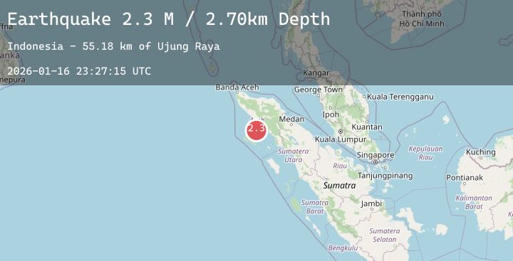
A 2.2 magnitude earthquake struck on Northern Sumatra, Indonesia, at Fri, 16 Jan 2026 23:27:16 GMT. Depth: 0.991159km. Reviewed by BMKG seismologists, this minor quake occurred at a magnitude type of M.
Magnitude
2.2
M
Source
BMKG
Intensity
-
Agency Reports
1 Sources| Source | Magnitude | Depth | Time |
|---|---|---|---|
| BMKGPrimary | 2.2 | 1 km | 2 hours ago |
Earthquake Details
AutomaticEvent IDbmg2026bdez
Tsunami PotentialNo
Magnitude TypeM
Nearest Places
- Ujung Raya49.1 km
- Lhokrheue49.4 km
- Kuala Lhoreue49.6 km
- Krueng Muling50.6 km
- Kuala Seuneuam51.0 km
Comments
Join the discussion about this event.
Latest Earthquakes
0.7Mag
8 km NW of The Geysers, CA
Time2 hours ago
Depth1.55 km
SourceUSGS (Automatic)
3.8Mag
NEAR WEST COAST OF HONSHU, JAPAN
Time2 hours ago
Depth10.00 km
SourceJMA (Automatic)
2.4Mag
West Papua Region, Indonesia
Time2 hours ago
Depth10.00 km
SourceBMKG (Automatic)
5.1Mag
NEAR EAST COAST OF KAMCHATKA
Time2 hours ago
Depth5.00 km
SourceEMSC (Automatic)
2.1Mag
HAWAII REGION, HAWAII
Time2 hours ago
Depth34.70 km
SourceHV (Automatic)