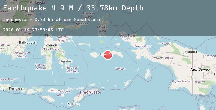
Earthquake Seram, Indonesia
Fri, 16 Jan 2026 23:50:45 GMT
Time2 hours ago
Location
-3.2420, 128.7436
Depth
74.3 KM
Event Summary
A 5.2 magnitude earthquake struck on Seram, Indonesia, at Fri, 16 Jan 2026 23:50:45 GMT. Depth: 74.347389km. Reviewed by BMKG seismologists, this moderate quake occurred at a magnitude type of M.
Magnitude
5.2
M
Source
BMKG
Intensity
-
Agency Reports
2 Sources| Source | Magnitude | Depth | Time |
|---|---|---|---|
| BMKGPrimary | 5.2 | 74 km | 2 hours ago |
| NEIC | 5.1 | 69 km | 2 hours ago |
Earthquake Details
AutomaticEvent IDbmg2026bdft
Tsunami PotentialNo
Magnitude TypeM
Nearest Places
- Desa Sanahu3.8 km
- Paulohi4.7 km
- Wae Ouel6.0 km
- Desa Wasia6.2 km
- Wasia6.7 km
Comments
Join the discussion about this event.
Latest Earthquakes
1.7Mag
16 km NNE of Summerlin South, Nevada
Time2 hours ago
Depth2.61 km
SourceUSGS (Automatic)
0.7Mag
8 km NW of The Geysers, CA
Time2 hours ago
Depth1.55 km
SourceUSGS (Automatic)
3.8Mag
NEAR WEST COAST OF HONSHU, JAPAN
Time2 hours ago
Depth10.00 km
SourceJMA (Automatic)
2.2Mag
Northern Sumatra, Indonesia
Time2 hours ago
Depth0.99 km
SourceBMKG (Automatic)
2.4Mag
West Papua Region, Indonesia
Time2 hours ago
Depth10.00 km
SourceBMKG (Automatic)