Earthquake Northern Sumatra, Indonesia
Sat, 17 Jan 2026 03:32:29 GMT
Time2 hours ago
Location
4.1236, 97.2115
Depth
28.4 KM
Event Summary
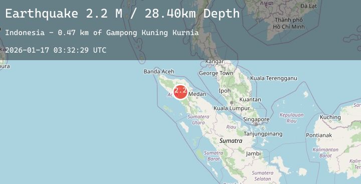
A 2.2 magnitude earthquake struck on Northern Sumatra, Indonesia, at Sat, 17 Jan 2026 03:32:29 GMT. Depth: 28.399607km. Reviewed by BMKG seismologists, this minor quake occurred at a magnitude type of M.
Magnitude
2.2
M
Source
BMKG
Intensity
-
Agency Reports
1 Sources| Source | Magnitude | Depth | Time |
|---|---|---|---|
| BMKGPrimary | 2.2 | 28 km | 2 hours ago |
Earthquake Details
AutomaticEvent IDbmg2026bdnb
Tsunami PotentialNo
Magnitude TypeM
Nearest Places
- Gampong Kuning Kurnia0.5 km
- Bur Ampakolak1.6 km
- Soneren2.1 km
- Aih Gedabunan2.2 km
- Aih Seneren2.3 km
Comments
Join the discussion about this event.
Latest Earthquakes
2.8Mag
Java, Indonesia
Time2 hours ago
Depth26.79 km
SourceBMKG (Automatic)
1.4Mag
7 km WSW of Holtville, CA
Time2 hours ago
Depth9.70 km
SourceUSGS (Automatic)
2.5Mag
COLORADO
Time2 hours ago
Depth10.00 km
SourceNEIC (Automatic)
2.4Mag
3 km SE of Point MacKenzie, Alaska
Time2 hours ago
Depth19.50 km
SourceUSGS (Automatic)
2.4Mag
Sulawesi, Indonesia
Time3 hours ago
Depth2.76 km
SourceBMKG (Automatic)
Nearby Earthquakes
No significant earthquakes nearby recently.