Earthquake Northern Sumatra, Indonesia
Sat, 17 Jan 2026 07:24:21 GMT
Time2 hours ago
Location
2.4544, 97.6875
Depth
39.0 KM
Event Summary
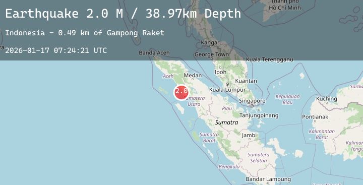
A 2.0 magnitude earthquake struck on Northern Sumatra, Indonesia, at Sat, 17 Jan 2026 07:24:21 GMT. Depth: 38.971294km. Reviewed by BMKG seismologists, this minor quake occurred at a magnitude type of M.
Magnitude
2.0
M
Source
BMKG
Intensity
-
Agency Reports
1 Sources| Source | Magnitude | Depth | Time |
|---|---|---|---|
| BMKGPrimary | 2.0 | 39 km | 2 hours ago |
Earthquake Details
AutomaticEvent IDbmg2026bdus
Tsunami PotentialNo
Magnitude TypeM
Nearest Places
- Gampong Raket0.5 km
- Lae Suak Mameh4.1 km
- Lae Ulubulu4.7 km
- Danau Ulubulu5.1 km
- Krueng Arun6.3 km
Comments
Join the discussion about this event.
Latest Earthquakes
1.2Mag
16 km S of Tres Pinos, CA
Time2 hours ago
Depth4.69 km
SourceUSGS (Automatic)
1.5Mag
5 km SSW of Idyllwild, CA
Time2 hours ago
Depth17.31 km
SourceUSGS (Automatic)
2.6Mag
Seram, Indonesia
Time2 hours ago
Depth27.99 km
SourceBMKG (Automatic)
4.1Mag
MYANMAR
Time2 hours ago
Depth10.00 km
SourceTSB (Automatic)
3.9Mag
South of Java, Indonesia
Time2 hours ago
Depth5.96 km
SourceBMKG (Automatic)
Nearby Earthquakes
No significant earthquakes nearby recently.