Earthquake 16 km S of Tres Pinos, CA
Sat, 17 Jan 2026 07:21:48 GMT
Time1 hour ago
Location
36.6507, -121.3117
Depth
4.7 KM
Event Summary
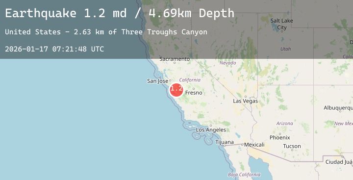
A 1.2 magnitude earthquake struck on 16 km S of Tres Pinos, CA, at Sat, 17 Jan 2026 07:21:48 GMT. Depth: 4.69000005722046km. Reviewed by USGS seismologists, this minor quake occurred at a magnitude type of md.
Magnitude
1.2
md
Source
USGS
Intensity
-
Agency Reports
1 Sources| Source | Magnitude | Depth | Time |
|---|---|---|---|
| USGSPrimary | 1.2 | 5 km | 1 hour ago |
Earthquake Details
AutomaticEvent IDusgs_nc75296891
Tsunami PotentialNo
Magnitude Typemd
Nearest Places
- Alvisa Canyon2.4 km
- Three Troughs Canyon2.4 km
- Matarana Gulch4.1 km
- Gabilan Range4.4 km
- Mount Johnson4.5 km
Comments
Join the discussion about this event.
Latest Earthquakes
0.7Mag
9 km NE of Coso Junction, CA
Time18 minutes ago
Depth3.94 km
SourceUSGS (Automatic)
4.0Mag
KYUSHU, JAPAN
Time20 minutes ago
Depth0.00 km
SourceJMA (Automatic)
3.4Mag
Near North Coast of West Papua
Time24 minutes ago
Depth10.00 km
SourceBMKG (Automatic)
1.2Mag
17 km ESE of Anza, CA
Time25 minutes ago
Depth13.97 km
SourceUSGS (Automatic)
3.4Mag
Java, Indonesia
Time26 minutes ago
Depth39.85 km
SourceBMKG (Automatic)