Earthquake West Papua Region, Indonesia
Sat, 17 Jan 2026 11:30:16 GMT
Time1 hour ago
Location
-4.2221, 135.8193
Depth
10.0 KM
Event Summary
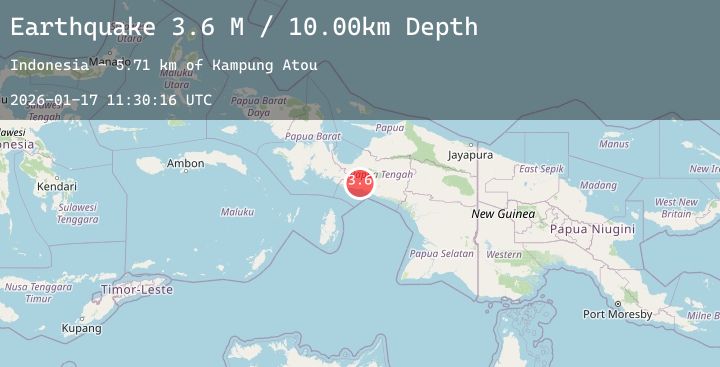
A 3.6 magnitude earthquake struck on West Papua Region, Indonesia, at Sat, 17 Jan 2026 11:30:16 GMT. Depth: 10km. Reviewed by BMKG seismologists, this minor quake occurred at a magnitude type of M.
Magnitude
3.6
M
Source
BMKG
Intensity
-
Agency Reports
1 Sources| Source | Magnitude | Depth | Time |
|---|---|---|---|
| BMKGPrimary | 3.6 | 10 km | 1 hour ago |
Earthquake Details
AutomaticEvent IDbmg2026becv
Tsunami PotentialNo
Magnitude TypeM
Nearest Places
- Kampung Atou5.7 km
- Kampung Putaapa7.0 km
- Baraya8.0 km
- Distrik Mapia Tengah8.6 km
- Kampung Maikotu9.0 km
Comments
Join the discussion about this event.
Latest Earthquakes
1.6Mag
20 km W of Winters, CA
Time1 hour ago
Depth4.63 km
SourceUSGS (Automatic)
1.5Mag
1 km NE of Paramount, CA
Time1 hour ago
Depth8.88 km
SourceUSGS (Automatic)
1.8Mag
62 km ESE of Denali Park, Alaska
Time2 hours ago
Depth5.00 km
SourceUSGS (Automatic)
1.6Mag
16 km WSW of Johannesburg, CA
Time2 hours ago
Depth7.65 km
SourceUSGS (Automatic)
3.1Mag
Bali Sea
Time2 hours ago
Depth10.00 km
SourceBMKG (Automatic)
Nearby Earthquakes
No significant earthquakes nearby recently.