Earthquake Bali Sea
Sat, 17 Jan 2026 11:06:08 GMT
Time2 hours ago
Location
-7.8783, 117.3828
Depth
10.0 KM
Event Summary
A 3.1 magnitude earthquake struck on Bali Sea, at Sat, 17 Jan 2026 11:06:08 GMT. Depth: 10km. Reviewed by BMKG seismologists, this minor quake occurred at a magnitude type of M.
Magnitude
3.1
M
Source
BMKG
Intensity
-
Agency Reports
1 Sources| Source | Magnitude | Depth | Time |
|---|---|---|---|
| BMKGPrimary | 3.1 | 10 km | 2 hours ago |
Earthquake Details
AutomaticEvent IDbmg2026beca
Tsunami PotentialNo
Magnitude TypeM
Nearest Places
- Gosong Sakunci21.3 km
- Pulau Sadapur22.9 km
- Desa Bajo Medang28.7 km
- Desa Bugis Medang29.1 km
- Tanjung Timor29.2 km
Comments
Join the discussion about this event.
Latest Earthquakes
1.5Mag
58 km NW of Toyah, Texas
Time2 hours ago
Depth4.17 km
SourceUSGS (Automatic)
2.3Mag
Java, Indonesia
Time2 hours ago
Depth6.16 km
SourceBMKG (Automatic)
1.7Mag
23 km W of Skwentna, Alaska
Time2 hours ago
Depth93.90 km
SourceUSGS (Automatic)
1.4Mag
EASTERN TURKEY
Time2 hours ago
Depth7.00 km
SourceAFAD (Automatic)
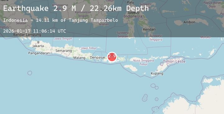
2.9Mag
Sumba Region, Indonesia
Time2 hours ago
Depth43.65 km
SourceBMKG (Automatic)