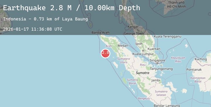
Earthquake Off West Coast of Northern Sumatra
Sat, 17 Jan 2026 11:36:07 GMT
Time1 hour ago
Location
2.4253, 95.9231
Depth
40.3 KM
Event Summary
A 3.1 magnitude earthquake struck on Off West Coast of Northern Sumatra, at Sat, 17 Jan 2026 11:36:07 GMT. Depth: 40.276127km. Reviewed by BMKG seismologists, this minor quake occurred at a magnitude type of M.
Magnitude
3.1
M
Source
BMKG
Intensity
-
Agency Reports
1 Sources| Source | Magnitude | Depth | Time |
|---|---|---|---|
| BMKGPrimary | 3.1 | 40 km | 1 hour ago |
Earthquake Details
AutomaticEvent IDbmg2026beda
Tsunami PotentialNo
Magnitude TypeM
Nearest Places
- Ujung Matalangkir11.8 km
- Ujung Mata Situngkul12.0 km
- Pulau Simeulucut12.0 km
- Gampong Bubuhan12.2 km
- Dolok Toyang12.7 km
Comments
Join the discussion about this event.
Latest Earthquakes
2.2Mag
Flores Region, Indonesia
Time1 hour ago
Depth11.17 km
SourceBMKG (Automatic)
3.6Mag
West Papua Region, Indonesia
Time2 hours ago
Depth10.00 km
SourceBMKG (Automatic)
1.6Mag
20 km W of Winters, CA
Time2 hours ago
Depth4.63 km
SourceUSGS (Automatic)
1.5Mag
1 km NE of Paramount, CA
Time2 hours ago
Depth8.88 km
SourceUSGS (Automatic)
3.1Mag
MYANMAR
Time2 hours ago
Depth10.00 km
SourceTSB (Automatic)
Nearby Earthquakes
No significant earthquakes nearby recently.