Earthquake Southern Sumatra, Indonesia
Sat, 17 Jan 2026 14:58:13 GMT
Time2 hours ago
Location
-3.3249, 101.6747
Depth
43.8 KM
Event Summary
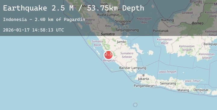
A 2.7 magnitude earthquake struck on Southern Sumatra, Indonesia, at Sat, 17 Jan 2026 14:58:13 GMT. Depth: 43.785744km. Reviewed by BMKG seismologists, this minor quake occurred at a magnitude type of M.
Magnitude
2.7
M
Source
BMKG
Intensity
-
Agency Reports
1 Sources| Source | Magnitude | Depth | Time |
|---|---|---|---|
| BMKGPrimary | 2.7 | 44 km | 2 hours ago |
Earthquake Details
AutomaticEvent IDbmg2026bejr
Tsunami PotentialNo
Magnitude TypeM
Nearest Places
- Karangpulau4.7 km
- Desa Kota Bani7.6 km
- Kecamatan Putri Hijau7.8 km
- Desa Karang Pulau8.0 km
- Desa Air Petai9.0 km
Comments
Join the discussion about this event.
Latest Earthquakes
2.7Mag
Northern Sumatra, Indonesia
Time2 hours ago
Depth64.46 km
SourceBMKG (Automatic)
2.3Mag
45 km WSW of Nanwalek, Alaska
Time2 hours ago
Depth70.00 km
SourceUSGS (Automatic)
0.9Mag
18 km SSW of Maricopa, CA
Time2 hours ago
Depth12.15 km
SourceUSGS (Automatic)
2.7Mag
Java, Indonesia
Time2 hours ago
Depth187.21 km
SourceBMKG (Automatic)
3.0Mag
OFFSHORE GUATEMALA
Time2 hours ago
Depth7.00 km
SourceINET (Automatic)
Nearby Earthquakes
No significant earthquakes nearby recently.