Earthquake 18 km SSW of Maricopa, CA
Sat, 17 Jan 2026 14:51:28 GMT
Time2 hours ago
Location
34.9140, -119.4777
Depth
12.2 KM
Event Summary
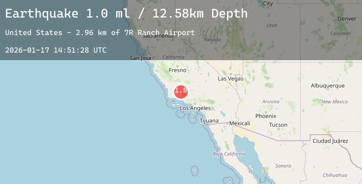
A 0.9 magnitude earthquake struck on 18 km SSW of Maricopa, CA, at Sat, 17 Jan 2026 14:51:28 GMT. Depth: 12.15km. Reviewed by USGS seismologists, this minor quake occurred at a magnitude type of ml.
Magnitude
0.9
ml
Source
USGS
Intensity
-
Agency Reports
1 Sources| Source | Magnitude | Depth | Time |
|---|---|---|---|
| USGSPrimary | 0.9 | 12 km | 2 hours ago |
Earthquake Details
AutomaticEvent IDusgs_ci41160415
Tsunami PotentialNo
Magnitude Typeml
Nearest Places
- Whitner Ranch3.2 km
- 7R Ranch Airport3.5 km
- Ballinger Canyon3.5 km
- Ballinger Recreation Site4.1 km
- Dixon Airport (historical)4.4 km
Comments
Join the discussion about this event.
Latest Earthquakes
0.3Mag
15 km N of Warner Springs, CA
Time47 minutes ago
Depth6.67 km
SourceUSGS (Automatic)
1.1Mag
8 km NW of The Geysers, CA
Time48 minutes ago
Depth1.86 km
SourceUSGS (Automatic)
3.8Mag
Minahassa Peninsula, Sulawesi
Time53 minutes ago
Depth118.97 km
SourceBMKG (Automatic)
3.9Mag
Sumba Region, Indonesia
Time53 minutes ago
Depth8.75 km
SourceBMKG (Automatic)
3.3Mag
Northern Molucca Sea
Time56 minutes ago
Depth20.10 km
SourceBMKG (Automatic)