Earthquake Northern Molucca Sea
Sat, 17 Jan 2026 16:20:21 GMT
Time3 hours ago
Location
1.7547, 125.4935
Depth
89.1 KM
Event Summary
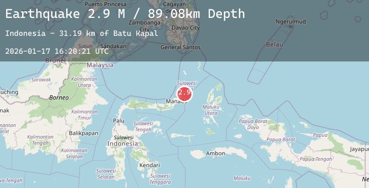
A 2.9 magnitude earthquake struck on Northern Molucca Sea, at Sat, 17 Jan 2026 16:20:21 GMT. Depth: 89.079262km. Reviewed by BMKG seismologists, this minor quake occurred at a magnitude type of M.
Magnitude
2.9
M
Source
BMKG
Intensity
-
Agency Reports
1 Sources| Source | Magnitude | Depth | Time |
|---|---|---|---|
| BMKGPrimary | 2.9 | 89 km | 3 hours ago |
Earthquake Details
AutomaticEvent IDbmg2026bemk
Tsunami PotentialNo
Magnitude TypeM
Nearest Places
- Batu Kapal31.2 km
- Pulau Batukapal31.4 km
- Tanjung Batukapal31.9 km
- Labuan Lirang32.5 km
- Tanjung Lirang32.5 km
Comments
Join the discussion about this event.
Latest Earthquakes
0.3Mag
15 km N of Warner Springs, CA
Time4 hours ago
Depth6.67 km
SourceUSGS (Automatic)
1.1Mag
8 km NW of The Geysers, CA
Time4 hours ago
Depth1.86 km
SourceUSGS (Automatic)
3.8Mag
Minahassa Peninsula, Sulawesi
Time4 hours ago
Depth118.97 km
SourceBMKG (Automatic)
3.9Mag
Sumba Region, Indonesia
Time4 hours ago
Depth8.75 km
SourceBMKG (Automatic)
3.3Mag
Northern Molucca Sea
Time4 hours ago
Depth20.10 km
SourceBMKG (Automatic)
Nearby Earthquakes
No significant earthquakes nearby recently.