Earthquake Sunda Strait, Indonesia
Sat, 17 Jan 2026 19:53:07 GMT
Time2 hours ago
Location
-6.2000, 104.9873
Depth
37.8 KM
Event Summary
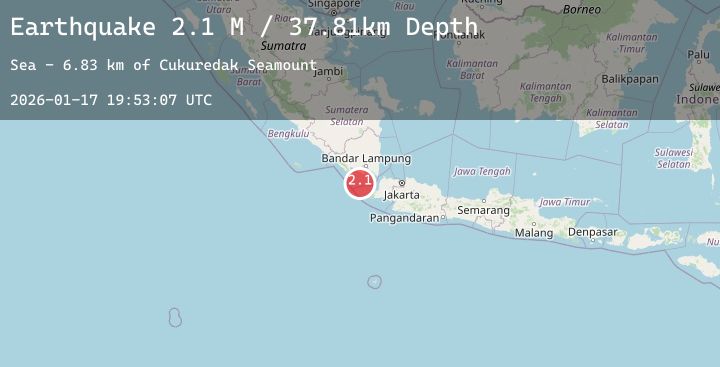
A 2.1 magnitude earthquake struck on Sunda Strait, Indonesia, at Sat, 17 Jan 2026 19:53:07 GMT. Depth: 37.807369km. Reviewed by BMKG seismologists, this minor quake occurred at a magnitude type of M.
Magnitude
2.1
M
Source
BMKG
Intensity
-
Agency Reports
1 Sources| Source | Magnitude | Depth | Time |
|---|---|---|---|
| BMKGPrimary | 2.1 | 38 km | 2 hours ago |
Earthquake Details
AutomaticEvent IDbmg2026betk
Tsunami PotentialNo
Magnitude TypeM
Nearest Places
- Cukuredak Seamount6.8 km
- Teluk Linto34.5 km
- Great Channel41.0 km
- Tanjung Cina41.2 km
- Batu Kebucung42.0 km
Comments
Join the discussion about this event.
Latest Earthquakes
0.9Mag
3 km NW of The Geysers, CA
Time2 hours ago
Depth3.56 km
SourceUSGS (Automatic)
2.9Mag
GUATEMALA
Time2 hours ago
Depth1.00 km
SourceINET (Automatic)
3.0Mag
Northern Molucca Sea
Time2 hours ago
Depth85.43 km
SourceBMKG (Automatic)
1.5Mag
98 km NNW of Karluk, Alaska
Time2 hours ago
Depth5.00 km
SourceUSGS (Automatic)
2.1Mag
Minahassa Peninsula, Sulawesi
Time2 hours ago
Depth10.00 km
SourceBMKG (Automatic)