Earthquake 98 km NNW of Karluk, Alaska
Sat, 17 Jan 2026 19:34:48 GMT
Time2 hours ago
Location
58.4320, -154.8410
Depth
5.0 KM
Event Summary
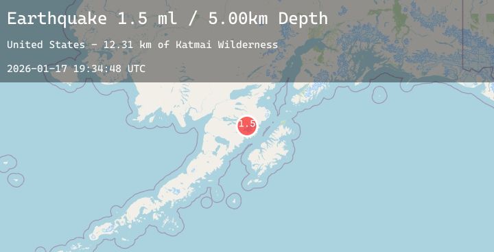
A 1.5 magnitude earthquake struck on 98 km NNW of Karluk, Alaska, at Sat, 17 Jan 2026 19:34:48 GMT. Depth: 5km. Reviewed by USGS seismologists, this minor quake occurred at a magnitude type of ml.
Magnitude
1.5
ml
Source
USGS
Intensity
-
Agency Reports
1 Sources| Source | Magnitude | Depth | Time |
|---|---|---|---|
| USGSPrimary | 1.5 | 5 km | 2 hours ago |
Earthquake Details
AutomaticEvent IDusgs_ak2026bewoli
Tsunami PotentialNo
Magnitude Typeml
Nearest Places
- Katmai Wilderness12.3 km
- Serpent Tongue Glacier13.8 km
- Snowy Mountain14.3 km
- Wolverine Falls14.5 km
- Rainbow River15.3 km
Comments
Join the discussion about this event.
Latest Earthquakes
2.9Mag
Sunda Strait, Indonesia
Time30 minutes ago
Depth12.32 km
SourceBMKG (Automatic)
2.7Mag
Minahassa Peninsula, Sulawesi
Time38 minutes ago
Depth37.73 km
SourceBMKG (Automatic)
2.5Mag
Java, Indonesia
Time39 minutes ago
Depth123.65 km
SourceBMKG (Automatic)
2.5Mag
Sulawesi, Indonesia
Time44 minutes ago
Depth5.00 km
SourceBMKG (Automatic)
2.7Mag
Java, Indonesia
Time45 minutes ago
Depth17.58 km
SourceBMKG (Automatic)