Earthquake Minahassa Peninsula, Sulawesi
Sat, 17 Jan 2026 21:27:15 GMT
Time2 hours ago
Location
-0.3147, 123.0308
Depth
37.7 KM
Event Summary
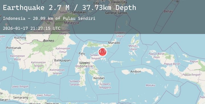
A 2.7 magnitude earthquake struck on Minahassa Peninsula, Sulawesi, at Sat, 17 Jan 2026 21:27:15 GMT. Depth: 37.725719km. Reviewed by BMKG seismologists, this minor quake occurred at a magnitude type of M.
Magnitude
2.7
M
Source
BMKG
Intensity
-
Agency Reports
1 Sources| Source | Magnitude | Depth | Time |
|---|---|---|---|
| BMKGPrimary | 2.7 | 38 km | 2 hours ago |
Earthquake Details
AutomaticEvent IDbmg2026bewn
Tsunami PotentialNo
Magnitude TypeM
Nearest Places
- Pulau Sendiri20.1 km
- Pulau Mantawalu Daka23.6 km
- Pulau Mantawalu Ise27.0 km
- Tanjung Awok27.9 km
- Tanjung Awok28.0 km
Comments
Join the discussion about this event.
Latest Earthquakes
2.5Mag
Java, Indonesia
Time2 hours ago
Depth123.65 km
SourceBMKG (Automatic)
2.5Mag
Sulawesi, Indonesia
Time2 hours ago
Depth5.00 km
SourceBMKG (Automatic)
2.7Mag
Java, Indonesia
Time2 hours ago
Depth17.58 km
SourceBMKG (Automatic)
2.5Mag
Northern Sumatra, Indonesia
Time2 hours ago
Depth66.76 km
SourceBMKG (Automatic)
2.1Mag
Flores Region, Indonesia
Time2 hours ago
Depth4.95 km
SourceBMKG (Automatic)