Earthquake Flores Region, Indonesia
Sat, 17 Jan 2026 21:10:42 GMT
Time3 hours ago
Location
-8.3321, 121.3670
Depth
4.9 KM
Event Summary
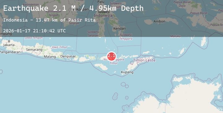
A 2.1 magnitude earthquake struck on Flores Region, Indonesia, at Sat, 17 Jan 2026 21:10:42 GMT. Depth: 4.94699km. Reviewed by BMKG seismologists, this minor quake occurred at a magnitude type of M.
Magnitude
2.1
M
Source
BMKG
Intensity
-
Agency Reports
1 Sources| Source | Magnitude | Depth | Time |
|---|---|---|---|
| BMKGPrimary | 2.1 | 5 km | 3 hours ago |
Earthquake Details
AutomaticEvent IDbmg2026bevz
Tsunami PotentialNo
Magnitude TypeM
Nearest Places
- Pasir Rita13.5 km
- Tanjung Nbai17.8 km
- Ai Sissa18.4 km
- Takat Mariam18.6 km
- Ngalu Lape19.5 km
Comments
Join the discussion about this event.
Latest Earthquakes
2.4Mag
Near North Coast of West Papua
Time3 hours ago
Depth31.60 km
SourceBMKG (Automatic)
0.7Mag
7 km NW of The Geysers, CA
Time4 hours ago
Depth2.47 km
SourceUSGS (Automatic)
2.3Mag
Bali Region, Indonesia
Time4 hours ago
Depth35.15 km
SourceBMKG (Automatic)
1.2Mag
WESTERN TURKEY
Time4 hours ago
Depth17.10 km
SourceEMSC (Automatic)
1.3Mag
43 km NW of Toyah, Texas
Time4 hours ago
Depth4.15 km
SourceUSGS (Automatic)