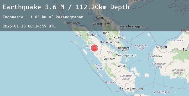
Earthquake Northern Sumatra, Indonesia
Sun, 18 Jan 2026 00:24:50 GMT
Time1 hour ago
Location
1.6895, 99.4967
Depth
166.1 KM
Event Summary
A 3.8 magnitude earthquake struck on Northern Sumatra, Indonesia, at Sun, 18 Jan 2026 00:24:50 GMT. Depth: 166.119904km. Reviewed by BMKG seismologists, this minor quake occurred at a magnitude type of M.
Magnitude
3.8
M
Source
BMKG
Intensity
-
Agency Reports
2 Sources| Source | Magnitude | Depth | Time |
|---|---|---|---|
| BMKGPrimary | 3.8 | 166 km | 1 hour ago |
| BMKGPrimary | 3.8 | 166 km | 1 hour ago |
Earthquake Details
AutomaticEvent IDbmg2026bfcj
Tsunami PotentialNo
Magnitude TypeM
Nearest Places
- Desa Siombob0.9 km
- Dolok Si Horu-horu1.0 km
- Dolok Si Horu-horu1.4 km
- Rahuning Julu2.3 km
- Rahuning Jae2.5 km
Comments
Join the discussion about this event.
Latest Earthquakes
1.9Mag
14 km SW of Lamont, CA
Time1 hour ago
Depth13.02 km
SourceUSGS (Automatic)
2.3Mag
CENTRAL CALIFORNIA
Time1 hour ago
Depth5.60 km
SourceNC (Automatic)
2.5Mag
WESTERN AUSTRALIA
Time1 hour ago
Depth5.00 km
SourceAUST (Automatic)
1.3Mag
24 km SSE of Lindsay, Texas
Time1 hour ago
Depth8.96 km
SourceUSGS (Automatic)
3.0Mag
NEAR THE COAST OF WESTERN TURKEY
Time1 hour ago
Depth16.40 km
SourceEMSC (Automatic)