Earthquake CENTRAL CALIFORNIA
Sun, 18 Jan 2026 00:30:22 GMT
Time2 hours ago
Location
36.6520, -121.3082
Depth
5.6 KM
Event Summary
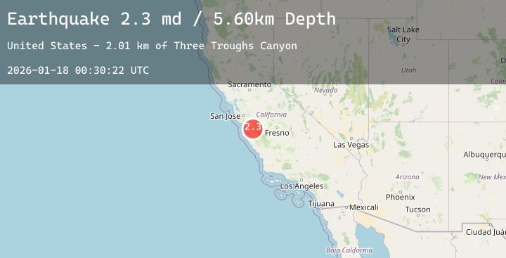
A 2.3 magnitude earthquake struck on CENTRAL CALIFORNIA, at Sun, 18 Jan 2026 00:30:22 GMT. Depth: 5.6km. Reviewed by NC seismologists, this minor quake occurred at a magnitude type of md.
Magnitude
2.3
md
Source
NC
Intensity
-
Agency Reports
2 Sources| Source | Magnitude | Depth | Time |
|---|---|---|---|
| NCPrimary | 2.3 | 6 km | 2 hours ago |
| USGS | 2.3 | 6 km | 2 hours ago |
Earthquake Details
AutomaticEvent IDemsc_20260118_0000004
Tsunami PotentialNo
Magnitude Typemd
Nearest Places
- Three Troughs Canyon2.1 km
- Alvisa Canyon2.2 km
- Matarana Gulch4.5 km
- Bear Canyon4.5 km
- Gabilan Range4.6 km
Comments
Join the discussion about this event.
Latest Earthquakes
1.3Mag
24 km SSE of Lindsay, Texas
Time2 hours ago
Depth8.96 km
SourceUSGS (Automatic)
3.2Mag
Northern Sumatra, Indonesia
Time2 hours ago
Depth161.92 km
SourceBMKG (Automatic)
3.2Mag
ISLAND OF HAWAII, HAWAII
Time2 hours ago
Depth22.20 km
SourceNEIC (Automatic)
2.6Mag
Java, Indonesia
Time2 hours ago
Depth75.88 km
SourceBMKG (Automatic)
1.2Mag
5 km S of Parkfield, CA
Time2 hours ago
Depth5.93 km
SourceUSGS (Automatic)
Nearby Earthquakes
1.5Mag
15 km S of Tres Pinos, CA
Time9 hours ago
Depth5.84 km
SourceUSGS (Automatic)
1.9Mag
16 km S of Tres Pinos, CA
Time11 hours ago
Depth-0.45 km
SourceUSGS (Automatic)
3.1Mag
CENTRAL CALIFORNIA
Time12 hours ago
Depth10.00 km
SourceNEIC (Automatic)
1.2Mag
16 km S of Tres Pinos, CA
Time19 hours ago
Depth4.69 km
SourceUSGS (Automatic)