Earthquake West Papua Region, Indonesia
Sun, 18 Jan 2026 02:39:06 GMT
Time4 hours ago
Location
-2.7425, 135.9639
Depth
10.0 KM
Event Summary
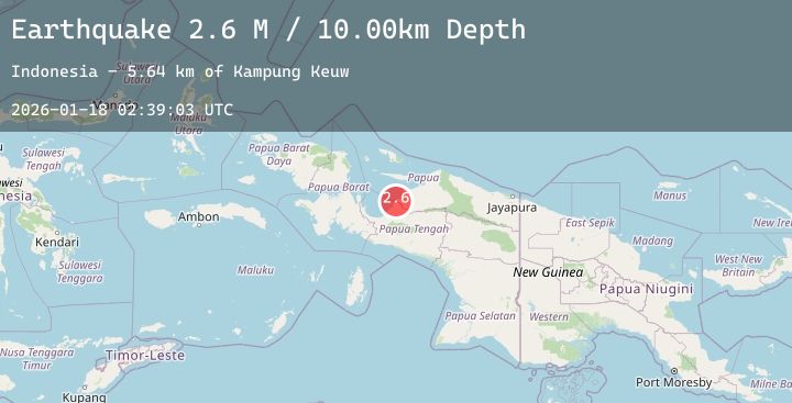
A 2.8 magnitude earthquake struck on West Papua Region, Indonesia, at Sun, 18 Jan 2026 02:39:06 GMT. Depth: 10km. Reviewed by BMKG seismologists, this minor quake occurred at a magnitude type of M.
Magnitude
2.8
M
Source
BMKG
Intensity
-
Agency Reports
1 Sources| Source | Magnitude | Depth | Time |
|---|---|---|---|
| BMKGPrimary | 2.8 | 10 km | 4 hours ago |
Earthquake Details
AutomaticEvent IDbmg2026bfgu
Tsunami PotentialNo
Magnitude TypeM
Nearest Places
- Ujung Auri4.9 km
- Ujung Auri5.0 km
- Kampung Samanui6.6 km
- Pami7.5 km
- Tanjung Kamengsenu8.0 km
Comments
Join the discussion about this event.
Latest Earthquakes
2.4Mag
16 km SW of Nile, Washington
Time4 hours ago
Depth-1.27 km
SourceUSGS (Automatic)
2.6Mag
TARAPACA, CHILE
Time4 hours ago
Depth94.70 km
SourceCSN (Automatic)
2.5Mag
12 km NE of Chenega, Alaska
Time4 hours ago
Depth19.80 km
SourceUSGS (Automatic)
1.1Mag
WESTERN TURKEY
Time4 hours ago
Depth7.40 km
SourceEMSC (Automatic)
1.4Mag
7 km NE of Coso Junction, CA
Time4 hours ago
Depth6.55 km
SourceUSGS (Automatic)
Nearby Earthquakes
No significant earthquakes nearby recently.