Earthquake 16 km SW of Nile, Washington
Sun, 18 Jan 2026 02:37:30 GMT
Time1 hour ago
Location
46.7355, -121.1193
Depth
-1.3 KM
Event Summary
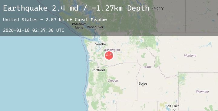
A 2.4 magnitude earthquake struck on 16 km SW of Nile, Washington, at Sun, 18 Jan 2026 02:37:30 GMT. Depth: -1.26999998092651km. Reviewed by USGS seismologists, this minor quake occurred at a magnitude type of md.
Magnitude
2.4
md
Source
USGS
Intensity
-
Agency Reports
1 Sources| Source | Magnitude | Depth | Time |
|---|---|---|---|
| USGSPrimary | 2.4 | -1 km | 1 hour ago |
Earthquake Details
AutomaticEvent IDusgs_uw62223276
Tsunami PotentialNo
Magnitude Typemd
Nearest Places
- Coral Meadow2.6 km
- Cash Prairie3.3 km
- Soda Spring Meadow3.4 km
- Timberwolf Mountain3.9 km
- Mal Lake4.0 km
Comments
Join the discussion about this event.
Latest Earthquakes
2.5Mag
12 km NE of Chenega, Alaska
Time2 hours ago
Depth19.80 km
SourceUSGS (Automatic)
1.1Mag
WESTERN TURKEY
Time2 hours ago
Depth7.00 km
SourceAFAD (Automatic)
1.4Mag
7 km NE of Coso Junction, CA
Time2 hours ago
Depth6.55 km
SourceUSGS (Automatic)
1.9Mag
3 km WNW of Cabazon, CA
Time2 hours ago
Depth7.01 km
SourceUSGS (Automatic)
0.7Mag
6 km WNW of Cobb, CA
Time2 hours ago
Depth10.77 km
SourceUSGS (Automatic)
Nearby Earthquakes
No significant earthquakes nearby recently.