Earthquake South of Bali, Indonesia
Wed, 21 Jan 2026 18:27:31 GMT
Time5 days ago
Location
-9.3167, 114.2427
Depth
21.5 KM
Event Summary
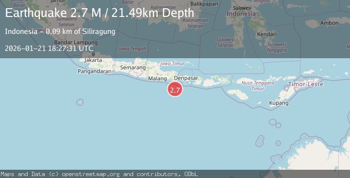
A 2.7 magnitude earthquake struck on South of Bali, Indonesia, at Wed, 21 Jan 2026 18:27:31 GMT. Depth: 21.487328km. Reviewed by BMKG seismologists, this minor quake occurred at a magnitude type of M.
Magnitude
2.7
M
Source
BMKG
Intensity
-
Agency Reports
1 Sources| Source | Magnitude | Depth | Time |
|---|---|---|---|
| BMKGPrimary | 2.7 | 21 km | 5 days ago |
Earthquake Details
AutomaticEvent IDbmg2026blyp
Tsunami PotentialNo
Magnitude TypeM
Nearest Places
- Kali Bindo61.2 km
- Pulau Batu Mandi62.6 km
- Tanjung Purwo65.3 km
- Crowne Plaza Shenzhen Longgang City Centre65.5 km
- Royal Plaza (Grand)66.0 km
Comments
Join the discussion about this event.
Latest Earthquakes
4.4Mag
Sulawesi, Indonesia
Time16 hours ago
Depth5.00 km
SourceBMKG (Automatic)
2.6Mag
Minahassa Peninsula, Sulawesi
Time17 hours ago
Depth118.00 km
SourceBMKG (Automatic)
2.8Mag
South of Bali, Indonesia
Time17 hours ago
Depth10.00 km
SourceBMKG (Automatic)
1.7Mag
31 km SE of Denali National Park, Alaska
Time17 hours ago
Depth0.60 km
SourceUSGS (Automatic)
2.2Mag
WESTERN TURKEY
Time17 hours ago
Depth14.90 km
SourceKOERI (Automatic)
Nearby Earthquakes
2.7Mag
Bali Region, Indonesia
Time3 days ago
Depth92.14 km
SourceBMKG (Automatic)
2.7Mag
South of Java, Indonesia
Time4 days ago
Depth30.00 km
SourceBMKG (Automatic)
2.4Mag
South of Bali, Indonesia
Time2 days ago
Depth10.00 km
SourceBMKG (Automatic)
3.6Mag
South of Java, Indonesia
Time1 day ago
Depth27.60 km
SourceBMKG (Automatic)
2.8Mag
South of Bali, Indonesia
Time17 hours ago
Depth10.00 km
SourceBMKG (Automatic)