Earthquake Mindanao, Philippines
Thu, 22 Jan 2026 05:27:57 GMT
Time5 days ago
Location
6.3518, 125.9930
Depth
152.1 KM
Event Summary
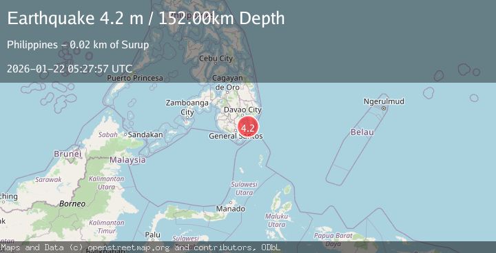
A 4.2 magnitude earthquake struck on Mindanao, Philippines, at Thu, 22 Jan 2026 05:27:57 GMT. Depth: 152.132263km. Reviewed by BMKG seismologists, this light quake occurred at a magnitude type of M.
Magnitude
4.2
M
Source
BMKG
Intensity
-
Agency Reports
1 Sources| Source | Magnitude | Depth | Time |
|---|---|---|---|
| BMKGPrimary | 4.2 | 152 km | 5 days ago |
Earthquake Details
AutomaticEvent IDbmg2026bmuj
Tsunami PotentialNo
Magnitude TypeM
Nearest Places
- Kaganuhan Point16.4 km
- Tagabibi Bay16.4 km
- Bilat Point16.9 km
- Surup17.4 km
- Nangan Bay18.0 km
Comments
Join the discussion about this event.
Latest Earthquakes
2.1Mag
2 km E of North Pearsall, Texas
Time13 minutes ago
Depth2.98 km
SourceUSGS (Automatic)
1.7Mag
CANARY ISLANDS, SPAIN REGION
Time23 minutes ago
Depth17.70 km
SourceIGN (Automatic)
0.9Mag
10 km SSW of Valle Vista, CA
Time27 minutes ago
Depth15.42 km
SourceUSGS (Automatic)
2.8Mag
Java, Indonesia
Time35 minutes ago
Depth109.39 km
SourceBMKG (Automatic)
1.5Mag
26 km E of Bridgeport, California
Time35 minutes ago
Depth11.74 km
SourceUSGS (Automatic)
Nearby Earthquakes
3.3Mag
MINDANAO, PHILIPPINES
Time1 day ago
Depth9.00 km
SourcePIVS (Automatic)
4.5Mag
Mindanao, Philippines
Time3 days ago
Depth14.02 km
SourceBMKG (Automatic)
3.8Mag
MINDANAO, PHILIPPINES
Time1 day ago
Depth10.00 km
SourcePIVS (Automatic)
3.8Mag
Mindanao, Philippines
Time2 days ago
Depth43.36 km
SourceBMKG (Automatic)
4.6Mag
Mindanao, Philippines
Time3 days ago
Depth182.33 km
SourceBMKG (Automatic)