Earthquake Minahassa Peninsula, Sulawesi
Fri, 23 Jan 2026 04:20:56 GMT
Time4 days ago
Location
-0.2320, 123.5372
Depth
18.3 KM
Event Summary
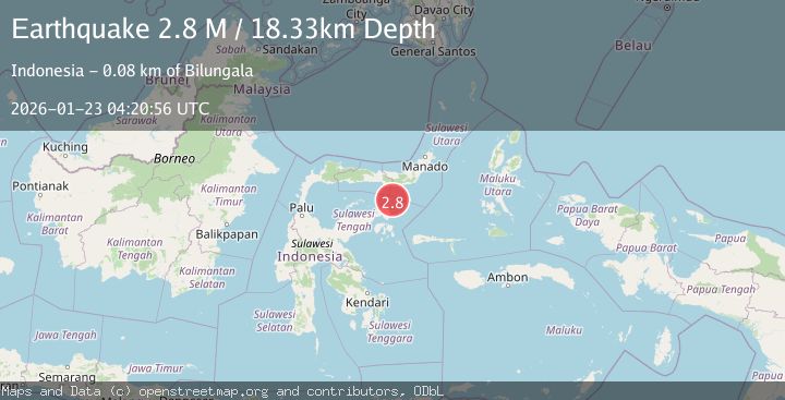
A 2.8 magnitude earthquake struck on Minahassa Peninsula, Sulawesi, at Fri, 23 Jan 2026 04:20:56 GMT. Depth: 18.334177km. Reviewed by BMKG seismologists, this minor quake occurred at a magnitude type of M.
Magnitude
2.8
M
Source
BMKG
Intensity
-
Agency Reports
1 Sources| Source | Magnitude | Depth | Time |
|---|---|---|---|
| BMKGPrimary | 2.8 | 18 km | 4 days ago |
Earthquake Details
AutomaticEvent IDbmg2026bonr
Tsunami PotentialNo
Magnitude TypeM
Nearest Places
- Pulau Daka47.1 km
- Pulau Ampat47.1 km
- Pulau Tangkuladi47.2 km
- Pulau Toosan47.2 km
- Pulau Kosamba47.3 km
Comments
Join the discussion about this event.
Latest Earthquakes
1.9Mag
5 km ESE of Pearsall, Texas
Time7 minutes ago
Depth8.84 km
SourceUSGS (Automatic)
3.9Mag
Minahassa Peninsula, Sulawesi
Time11 minutes ago
Depth203.73 km
SourceBMKG (Automatic)
2.6Mag
SUMBAWA REGION, INDONESIA
Time13 minutes ago
Depth184.00 km
SourceBMKG (Automatic)
1.5Mag
6 km SW of Gilroy, CA
Time15 minutes ago
Depth2.74 km
SourceUSGS (Automatic)
4.1Mag
OFFSHORE GUATEMALA
Time17 minutes ago
Depth10.00 km
SourceINET (Automatic)
Nearby Earthquakes
2.9Mag
Minahassa Peninsula, Sulawesi
Time2 days ago
Depth95.96 km
SourceBMKG (Automatic)
2.9Mag
Minahassa Peninsula, Sulawesi
Time1 day ago
Depth5.00 km
SourceBMKG (Automatic)
4.3Mag
Minahassa Peninsula, Sulawesi
Time1 day ago
Depth10.00 km
SourceBMKG (Automatic)
2.4Mag
Minahassa Peninsula, Sulawesi
Time2 days ago
Depth131.42 km
SourceBMKG (Automatic)
2.6Mag
Minahassa Peninsula, Sulawesi
Time10 hours ago
Depth118.00 km
SourceBMKG (Automatic)