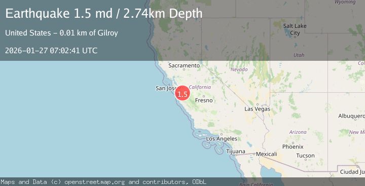
Earthquake 6 km SW of Gilroy, CA
Tue, 27 Jan 2026 07:02:41 GMT
Time1 hour ago
Location
36.9750, -121.6245
Depth
2.7 KM
Event Summary
A 1.5 magnitude earthquake struck on 6 km SW of Gilroy, CA, at Tue, 27 Jan 2026 07:02:41 GMT. Depth: 2.74000000953674km. Reviewed by USGS seismologists, this minor quake occurred at a magnitude type of md.
Magnitude
1.5
md
Source
USGS
Intensity
-
Agency Reports
1 Sources| Source | Magnitude | Depth | Time |
|---|---|---|---|
| USGSPrimary | 1.5 | 3 km | 1 hour ago |
Earthquake Details
AutomaticEvent IDusgs_nc75302416
Tsunami PotentialNo
Magnitude Typemd
Nearest Places
- Wildcat Canyon1.8 km
- Castro Valley3.0 km
- Hatfield Canyon3.1 km
- Sprig Lake3.1 km
- Debell 628 Dam3.3 km
Comments
Join the discussion about this event.
Latest Earthquakes
1.1Mag
30 km NE of Los Alamos, CA
Time10 minutes ago
Depth4.17 km
SourceUSGS (Automatic)
1.2Mag
EASTERN TURKEY
Time10 minutes ago
Depth7.00 km
SourceAFAD (Automatic)
2.6Mag
Timor Region
Time13 minutes ago
Depth35.26 km
SourceBMKG (Automatic)
2.3Mag
Sumbawa Region, Indonesia
Time13 minutes ago
Depth10.00 km
SourceBMKG (Automatic)
2.5Mag
Flores Sea
Time15 minutes ago
Depth26.93 km
SourceBMKG (Automatic)
Nearby Earthquakes
1.4Mag
10 km N of Hollister, CA
Time11 hours ago
Depth10.13 km
SourceUSGS (Automatic)
1.1Mag
6 km SE of San Juan Bautista, CA
Time4 days ago
Depth5.17 km
SourceUSGS (Automatic)
1.4Mag
18 km NNE of Hollister, CA
Time1 day ago
Depth10.28 km
SourceUSGS (Automatic)
2.1Mag
CENTRAL CALIFORNIA
Time5 days ago
Depth6.20 km
SourceNC (Automatic)
1.5Mag
13 km SSW of Tres Pinos, CA
Time4 days ago
Depth1.38 km
SourceUSGS (Automatic)