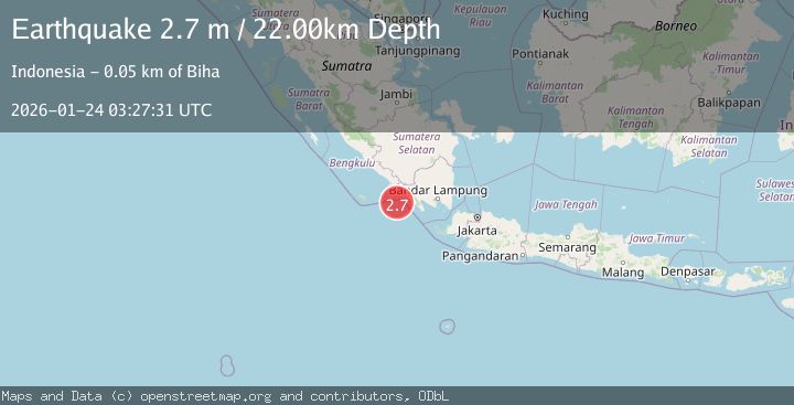
Earthquake Southern Sumatra, Indonesia
Sat, 24 Jan 2026 03:27:33 GMT
Time3 days ago
Location
-5.4395, 103.7366
Depth
28.0 KM
Event Summary
A 2.7 magnitude earthquake struck on Southern Sumatra, Indonesia, at Sat, 24 Jan 2026 03:27:33 GMT. Depth: 27.965328km. Reviewed by BMKG seismologists, this minor quake occurred at a magnitude type of M.
Magnitude
2.7
M
Source
BMKG
Intensity
-
Agency Reports
1 Sources| Source | Magnitude | Depth | Time |
|---|---|---|---|
| BMKGPrimary | 2.7 | 22 km | 3 days ago |
Earthquake Details
AutomaticEvent IDbmg2026bqhk
Tsunami PotentialNo
Magnitude TypeM
Nearest Places
- Ujung Walor30.9 km
- Padangnegeri30.9 km
- Desa Suka Jadi30.9 km
- Lintik31.1 km
- Desa Walur31.1 km
Comments
Join the discussion about this event.
Latest Earthquakes
2.5Mag
Northern Sumatra, Indonesia
Time3 minutes ago
Depth0.60 km
SourceBMKG (Automatic)
2.1Mag
SOUTHERN TEXAS
Time4 minutes ago
Depth0.00 km
SourceTX (Automatic)
0.9Mag
EASTERN TURKEY
Time11 minutes ago
Depth6.80 km
SourceAFAD (Automatic)
2.4Mag
EASTERN TURKEY
Time14 minutes ago
Depth4.30 km
SourceKOERI (Automatic)
0.2Mag
6 km WNW of Cobb, CA
Time16 minutes ago
Depth1.56 km
SourceUSGS (Automatic)
Nearby Earthquakes
2.9Mag
Southern Sumatra, Indonesia
Time1 day ago
Depth22.12 km
SourceBMKG (Automatic)
3.7Mag
Southwest of Sumatra, Indonesia
Time2 days ago
Depth3.70 km
SourceBMKG (Automatic)
2.5Mag
Southern Sumatra, Indonesia
Time58 minutes ago
Depth10.48 km
SourceBMKG (Automatic)
2.7Mag
Sunda Strait, Indonesia
Time1 day ago
Depth26.51 km
SourceBMKG (Automatic)
2.9Mag
SOUTHWEST OF SUMATRA, INDONESIA
Time4 days ago
Depth10.00 km
SourceBMKG (Automatic)