Earthquake Southwest of Sumatra, Indonesia
Sun, 25 Jan 2026 07:44:04 GMT
Time2 days ago
Location
-6.0204, 103.9389
Depth
3.7 KM
Event Summary
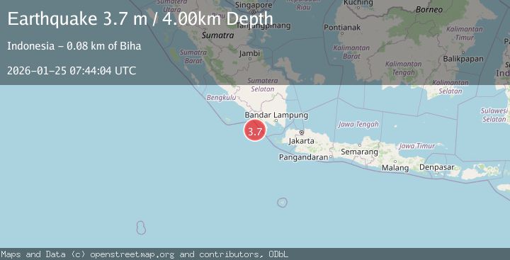
A 3.7 magnitude earthquake struck on Southwest of Sumatra, Indonesia, at Sun, 25 Jan 2026 07:44:04 GMT. Depth: 3.698661km. Reviewed by BMKG seismologists, this minor quake occurred at a magnitude type of M.
Magnitude
3.7
M
Source
BMKG
Intensity
-
Agency Reports
1 Sources| Source | Magnitude | Depth | Time |
|---|---|---|---|
| BMKGPrimary | 3.7 | 4 km | 2 days ago |
Earthquake Details
AutomaticEvent IDbmg2026bslj
Tsunami PotentialNo
Magnitude TypeM
Nearest Places
- Enggano Basin21.0 km
- Pulau Betuah57.5 km
- Cukuh Batuberagam59.2 km
- Wai Cukung60.0 km
- Teluk Bengkunat60.0 km
Comments
Join the discussion about this event.
Latest Earthquakes
4.4Mag
Sulawesi, Indonesia
Time13 hours ago
Depth5.00 km
SourceBMKG (Automatic)
2.6Mag
Minahassa Peninsula, Sulawesi
Time13 hours ago
Depth118.00 km
SourceBMKG (Automatic)
2.8Mag
South of Bali, Indonesia
Time13 hours ago
Depth10.00 km
SourceBMKG (Automatic)
1.7Mag
31 km SE of Denali National Park, Alaska
Time13 hours ago
Depth0.60 km
SourceUSGS (Automatic)
2.2Mag
WESTERN TURKEY
Time13 hours ago
Depth14.90 km
SourceKOERI (Automatic)
Nearby Earthquakes
2.7Mag
Sunda Strait, Indonesia
Time1 day ago
Depth26.51 km
SourceBMKG (Automatic)
2.9Mag
Southern Sumatra, Indonesia
Time1 day ago
Depth22.12 km
SourceBMKG (Automatic)
2.7Mag
Southern Sumatra, Indonesia
Time3 days ago
Depth27.97 km
SourceBMKG (Automatic)
2.2Mag
Sunda Strait, Indonesia
Time14 hours ago
Depth15.44 km
SourceBMKG (Automatic)
2.9Mag
SOUTHWEST OF SUMATRA, INDONESIA
Time4 days ago
Depth10.00 km
SourceBMKG (Automatic)