Earthquake Northern Molucca Sea
Sun, 25 Jan 2026 09:40:00 GMT
Time2 days ago
Location
0.9082, 126.5617
Depth
27.9 KM
Event Summary
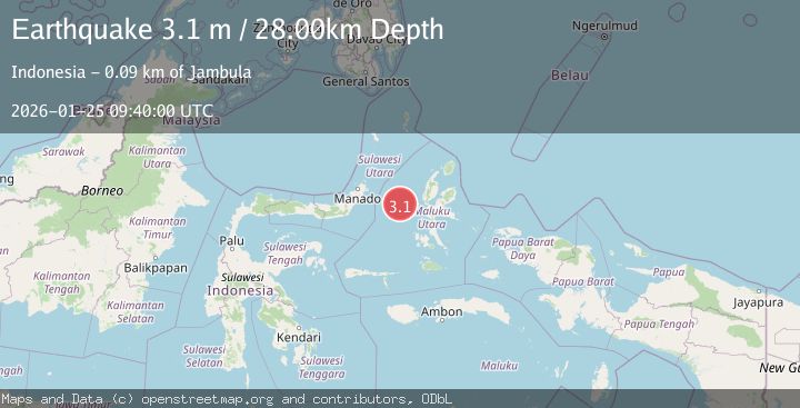
A 3.1 magnitude earthquake struck on Northern Molucca Sea, at Sun, 25 Jan 2026 09:40:00 GMT. Depth: 27.937513km. Reviewed by BMKG seismologists, this minor quake occurred at a magnitude type of M.
Magnitude
3.1
M
Source
BMKG
Intensity
-
Agency Reports
1 Sources| Source | Magnitude | Depth | Time |
|---|---|---|---|
| BMKGPrimary | 3.1 | 28 km | 2 days ago |
Earthquake Details
AutomaticEvent IDbmg2026bspf
Tsunami PotentialNo
Magnitude TypeM
Nearest Places
- Tanjung Geranomaderi44.5 km
- Kelurahan Tifure46.8 km
- Ternate Trough46.9 km
- Pulau Gureda46.9 km
- Pulau Tifore47.4 km
Comments
Join the discussion about this event.
Latest Earthquakes
2.6Mag
Minahassa Peninsula, Sulawesi
Time22 hours ago
Depth118.00 km
SourceBMKG (Automatic)
2.8Mag
South of Bali, Indonesia
Time22 hours ago
Depth10.00 km
SourceBMKG (Automatic)
1.7Mag
31 km SE of Denali National Park, Alaska
Time22 hours ago
Depth0.60 km
SourceUSGS (Automatic)
2.2Mag
WESTERN TURKEY
Time22 hours ago
Depth14.90 km
SourceKOERI (Automatic)
2.2Mag
13 km NW of Ferry, Alaska
Time22 hours ago
Depth139.50 km
SourceUSGS (Automatic)
Nearby Earthquakes
3.0Mag
Northern Molucca Sea
Time1 day ago
Depth25.04 km
SourceBMKG (Automatic)
4.7Mag
Northern Molucca Sea
Time5 days ago
Depth23.34 km
SourceBMKG (Automatic)
2.6Mag
Northern Molucca Sea
Time3 days ago
Depth61.16 km
SourceBMKG (Automatic)
2.6Mag
Halmahera, Indonesia
Time2 days ago
Depth2.80 km
SourceBMKG (Automatic)
2.9Mag
Halmahera, Indonesia
Time2 days ago
Depth115.57 km
SourceBMKG (Automatic)