Earthquake Minahassa Peninsula, Sulawesi
Tue, 27 Jan 2026 16:27:44 GMT
Time2 hours ago
Location
0.5004, 123.5713
Depth
263.8 KM
Event Summary
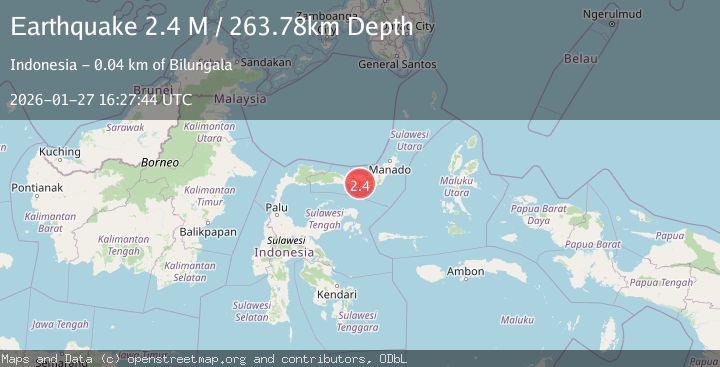
A 2.4 magnitude earthquake struck on Minahassa Peninsula, Sulawesi, at Tue, 27 Jan 2026 16:27:44 GMT. Depth: 263.779724km. Reviewed by BMKG seismologists, this minor quake occurred at a magnitude type of M.
Magnitude
2.4
M
Source
BMKG
Intensity
-
Agency Reports
1 Sources| Source | Magnitude | Depth | Time |
|---|---|---|---|
| BMKGPrimary | 2.4 | 264 km | 2 hours ago |
Earthquake Details
AutomaticEvent IDbmg2026bwtr
Tsunami PotentialNo
Magnitude TypeM
Nearest Places
- Huidu Popaya1.8 km
- Huidu Pangi2.4 km
- Dutuna Tuliawu2.6 km
- Desa Saibuah4.8 km
- Dutula Singgata4.8 km
Comments
Join the discussion about this event.
Latest Earthquakes
0.2Mag
89 km NNW of Karluk, Alaska
Time2 hours ago
Depth5.00 km
SourceUSGS (Automatic)
2.1Mag
Flores Region, Indonesia
Time2 hours ago
Depth18.38 km
SourceBMKG (Automatic)
1.7Mag
54 km S of Whites City, New Mexico
Time2 hours ago
Depth4.54 km
SourceUSGS (Automatic)
3.6Mag
LA RIOJA, ARGENTINA
Time2 hours ago
Depth10.00 km
SourceNSNA (Automatic)
2.7Mag
South of Java, Indonesia
Time2 hours ago
Depth10.00 km
SourceBMKG (Automatic)
Nearby Earthquakes
2.9Mag
Minahassa Peninsula, Sulawesi
Time1 day ago
Depth235.33 km
SourceBMKG (Automatic)
3.9Mag
Minahassa Peninsula, Sulawesi
Time11 hours ago
Depth203.73 km
SourceBMKG (Automatic)
2.9Mag
Minahassa Peninsula, Sulawesi
Time3 days ago
Depth95.96 km
SourceBMKG (Automatic)
2.4Mag
Minahassa Peninsula, Sulawesi
Time2 days ago
Depth131.42 km
SourceBMKG (Automatic)
2.6Mag
Minahassa Peninsula, Sulawesi
Time21 hours ago
Depth118.00 km
SourceBMKG (Automatic)