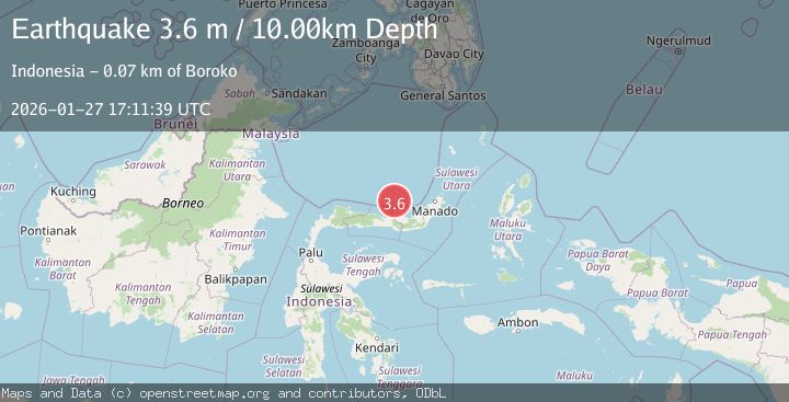
Earthquake Minahassa Peninsula, Sulawesi
Tue, 27 Jan 2026 17:11:48 GMT
Time2 hours ago
Location
1.4737, 122.9274
Depth
36.0 KM
Event Summary
A 3.5 magnitude earthquake struck on Minahassa Peninsula, Sulawesi, at Tue, 27 Jan 2026 17:11:48 GMT. Depth: 35.993404km. Reviewed by BMKG seismologists, this minor quake occurred at a magnitude type of M.
Magnitude
3.5
M
Source
BMKG
Intensity
-
Agency Reports
1 Sources| Source | Magnitude | Depth | Time |
|---|---|---|---|
| BMKGPrimary | 3.5 | 36 km | 2 hours ago |
Earthquake Details
AutomaticEvent IDbmg2026bwvd
Tsunami PotentialNo
Magnitude TypeM
Nearest Places
- Haarlemmermeer47.9 km
- Merapi51.5 km
- Pulau Bangkil51.6 km
- Retech53.0 km
- Montrado53.8 km
Comments
Join the discussion about this event.
Latest Earthquakes
2.4Mag
Bali Region, Indonesia
Time2 hours ago
Depth110.29 km
SourceBMKG (Automatic)
5.4Mag
Mindanao, Philippines
Time2 hours ago
Depth10.00 km
SourceBMKG (Automatic)
1.5Mag
16 km WSW of Johannesburg, CA
Time2 hours ago
Depth8.58 km
SourceUSGS (Automatic)
3.7Mag
LUZON, PHILIPPINES
Time2 hours ago
Depth3.00 km
SourcePIVS (Automatic)
1.9Mag
20 km SE of Naalehu, Hawaii
Time2 hours ago
Depth34.08 km
SourceUSGS (Automatic)
Nearby Earthquakes
2.8Mag
Minahassa Peninsula, Sulawesi
Time4 hours ago
Depth10.00 km
SourceBMKG (Automatic)
3.0Mag
Minahassa Peninsula, Sulawesi
Time10 hours ago
Depth10.59 km
SourceBMKG (Automatic)
3.5Mag
Minahassa Peninsula, Sulawesi
Time6 days ago
Depth26.90 km
SourceBMKG (Automatic)
2.5Mag
Minahassa Peninsula, Sulawesi
Time3 hours ago
Depth26.01 km
SourceBMKG (Automatic)
2.4Mag
Minahassa Peninsula, Sulawesi
Time1 day ago
Depth10.24 km
SourceBMKG (Automatic)