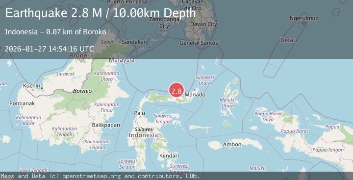
Earthquake Minahassa Peninsula, Sulawesi
Tue, 27 Jan 2026 14:54:25 GMT
Time1 hour ago
Location
0.7046, 122.8025
Depth
28.8 KM
Event Summary
A 2.1 magnitude earthquake struck on Minahassa Peninsula, Sulawesi, at Tue, 27 Jan 2026 14:54:25 GMT. Depth: 28.80694km. Reviewed by BMKG seismologists, this minor quake occurred at a magnitude type of M.
Magnitude
2.1
M
Source
BMKG
Intensity
-
Agency Reports
1 Sources| Source | Magnitude | Depth | Time |
|---|---|---|---|
| BMKGPrimary | 2.1 | 29 km | 1 hour ago |
Earthquake Details
AutomaticEvent IDbmg2026bwqp
Tsunami PotentialNo
Magnitude TypeM
Nearest Places
- Desa Toyidito0.7 km
- Transmigrasi1.8 km
- Huidu Tangale1.9 km
- Toidito2.1 km
- Olango2.4 km
Comments
Join the discussion about this event.
Latest Earthquakes
2.0Mag
34 km NE of Paxson, Alaska
Time2 hours ago
Depth11.60 km
SourceUSGS (Automatic)
3.0Mag
WESTERN MEDITERRANEAN SEA
Time2 hours ago
Depth5.00 km
SourceReNaSS (Automatic)
2.4Mag
Sumba Region, Indonesia
Time2 hours ago
Depth53.59 km
SourceBMKG (Automatic)
2.5Mag
Halmahera, Indonesia
Time2 hours ago
Depth132.87 km
SourceBMKG (Automatic)
1.2Mag
10 km WSW of Stanton, Texas
Time2 hours ago
Depth4.21 km
SourceUSGS (Automatic)
Nearby Earthquakes
2.3Mag
Minahassa Peninsula, Sulawesi
Time4 days ago
Depth68.84 km
SourceBMKG (Automatic)
2.4Mag
Minahassa Peninsula, Sulawesi
Time1 day ago
Depth10.24 km
SourceBMKG (Automatic)
2.0Mag
Minahassa Peninsula, Sulawesi
Time6 days ago
Depth2.50 km
SourceBMKG (Automatic)
2.4Mag
Minahassa Peninsula, Sulawesi
Time1 day ago
Depth63.62 km
SourceBMKG (Automatic)
2.4Mag
Minahassa Peninsula, Sulawesi
Time4 days ago
Depth149.71 km
SourceBMKG (Automatic)