Earthquake Sulawesi, Indonesia
Tue, 27 Jan 2026 20:14:57 GMT
Time1 hour ago
Location
-1.8990, 122.5674
Depth
4.1 KM
Event Summary
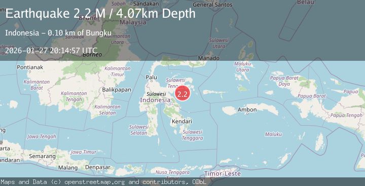
A 2.2 magnitude earthquake struck on Sulawesi, Indonesia, at Tue, 27 Jan 2026 20:14:57 GMT. Depth: 4.072426km. Reviewed by BMKG seismologists, this minor quake occurred at a magnitude type of M.
Magnitude
2.2
M
Source
BMKG
Intensity
-
Agency Reports
1 Sources| Source | Magnitude | Depth | Time |
|---|---|---|---|
| BMKGPrimary | 2.2 | 4 km | 1 hour ago |
Earthquake Details
AutomaticEvent IDbmg2026bxbe
Tsunami PotentialNo
Magnitude TypeM
Nearest Places
- Teluk Tolo13.5 km
- Karang Vesuvius41.6 km
- Pulau Delapan45.5 km
- Kepulauan Banyak45.9 km
- Tanjung Songoluli47.5 km
Comments
Join the discussion about this event.
Latest Earthquakes
1.8Mag
1 km NW of Pāhala, Hawaii
Time1 hour ago
Depth33.59 km
SourceUSGS (Automatic)
1.2Mag
3 km SE of Home Gardens, CA
Time1 hour ago
Depth2.12 km
SourceUSGS (Automatic)
2.7Mag
Sumbawa Region, Indonesia
Time2 hours ago
Depth111.29 km
SourceBMKG (Automatic)
1.2Mag
7 km S of Mojave, CA
Time2 hours ago
Depth-0.84 km
SourceUSGS (Automatic)
2.5Mag
PAPUA, INDONESIA
Time2 hours ago
Depth31.00 km
SourceBMKG (Automatic)
Nearby Earthquakes
2.9Mag
Sulawesi, Indonesia
Time6 days ago
Depth10.00 km
SourceBMKG (Automatic)
2.9Mag
Minahassa Peninsula, Sulawesi
Time5 days ago
Depth10.00 km
SourceBMKG (Automatic)
2.7Mag
Minahassa Peninsula, Sulawesi
Time2 days ago
Depth10.00 km
SourceBMKG (Automatic)
2.3Mag
Sulawesi, Indonesia
Time5 days ago
Depth5.00 km
SourceBMKG (Automatic)
3.8Mag
Minahassa Peninsula, Sulawesi
Time6 days ago
Depth7.27 km
SourceBMKG (Automatic)