Earthquake 1 km NW of Pāhala, Hawaii
Tue, 27 Jan 2026 20:09:39 GMT
Time1 hour ago
Location
19.2112, -155.4875
Depth
33.6 KM
Event Summary
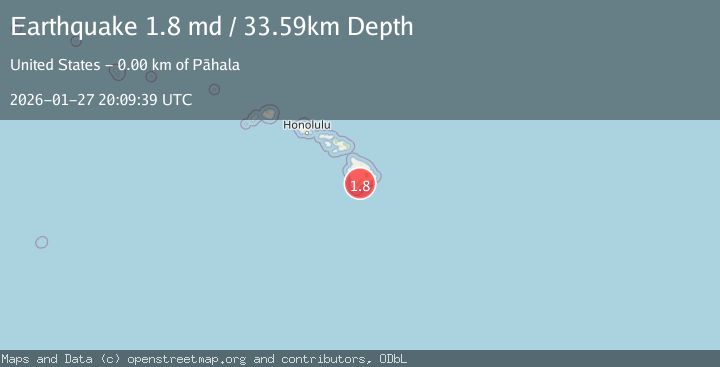
A 1.8 magnitude earthquake struck on 1 km NW of Pāhala, Hawaii, at Tue, 27 Jan 2026 20:09:39 GMT. Depth: 33.5900001525879km. Reviewed by USGS seismologists, this minor quake occurred at a magnitude type of md.
Magnitude
1.8
md
Source
USGS
Intensity
-
Agency Reports
1 Sources| Source | Magnitude | Depth | Time |
|---|---|---|---|
| USGSPrimary | 1.8 | 34 km | 1 hour ago |
Earthquake Details
AutomaticEvent IDusgs_hv74886487
Tsunami PotentialNo
Magnitude Typemd
Nearest Places
- Meyer Reservoir0.5 km
- Pālima0.5 km
- Meyer Camp (historical)0.8 km
- Holy Rosary Church0.9 km
- Kauhuhu‘ula Gulch1.0 km
Comments
Join the discussion about this event.
Latest Earthquakes
0.9Mag
10 km SSW of Valle Vista, CA
Time16 minutes ago
Depth15.42 km
SourceUSGS (Automatic)
2.8Mag
Java, Indonesia
Time23 minutes ago
Depth109.39 km
SourceBMKG (Automatic)
1.5Mag
26 km E of Bridgeport, California
Time24 minutes ago
Depth11.74 km
SourceUSGS (Automatic)
2.2Mag
Sumbawa Region, Indonesia
Time32 minutes ago
Depth51.34 km
SourceBMKG (Automatic)
3.0Mag
OREGON
Time39 minutes ago
Depth0.20 km
SourceUW (Automatic)
Nearby Earthquakes
1.9Mag
2 km WNW of Pāhala, Hawaii
Time2 days ago
Depth31.88 km
SourceUSGS (Automatic)
2.2Mag
ISLAND OF HAWAII, HAWAII
Time5 days ago
Depth27.90 km
SourceHV (Automatic)
4.3Mag
2 km NW of Pāhala, Hawaii
Time12 hours ago
Depth33.60 km
SourceUSGS
2.3Mag
3 km SW of Pāhala, Hawaii
Time14 hours ago
Depth29.59 km
SourceUSGS (Automatic)
2.3Mag
ISLAND OF HAWAII, HAWAII
Time14 hours ago
Depth29.60 km
SourceHV (Automatic)