Earthquake Tanimbar Islands Region, Indonesia
Tue, 27 Jan 2026 20:51:01 GMT
Time1 hour ago
Location
-7.4577, 130.2621
Depth
224.2 KM
Event Summary
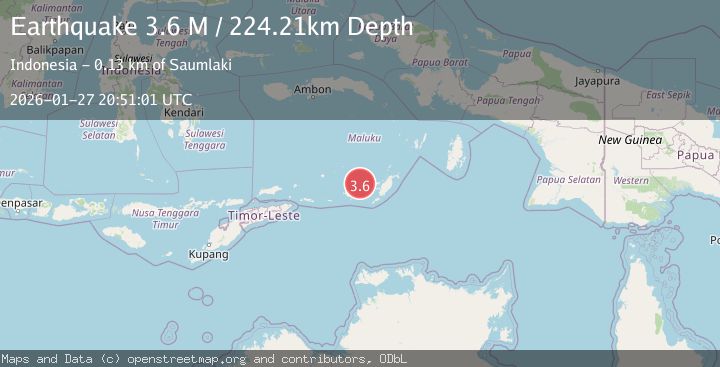
A 3.6 magnitude earthquake struck on Tanimbar Islands Region, Indonesia, at Tue, 27 Jan 2026 20:51:01 GMT. Depth: 224.205597km. Reviewed by BMKG seismologists, this minor quake occurred at a magnitude type of M.
Magnitude
3.6
M
Source
BMKG
Intensity
-
Agency Reports
1 Sources| Source | Magnitude | Depth | Time |
|---|---|---|---|
| BMKGPrimary | 3.6 | 224 km | 1 hour ago |
Earthquake Details
AutomaticEvent IDbmg2026bxcj
Tsunami PotentialNo
Magnitude TypeM
Nearest Places
- Ilhar39.2 km
- Welora39.4 km
- Desa Wiratan39.6 km
- Kecamatan Dawelor Dawera40.1 km
- Pulau Daweloor40.1 km
Comments
Join the discussion about this event.
Latest Earthquakes
1.6Mag
68 km ENE of Pedro Bay, Alaska
Time1 hour ago
Depth109.20 km
SourceUSGS (Automatic)
1.3Mag
37 km NW of Stanton, Texas
Time1 hour ago
Depth8.80 km
SourceUSGS (Automatic)
2.5Mag
SOUTHERN ALASKA
Time1 hour ago
Depth54.10 km
SourceAK (Automatic)
2.0Mag
52 km SSE of Denali National Park, Alaska
Time1 hour ago
Depth5.00 km
SourceUSGS (Automatic)
3.4Mag
MORO GULF, MINDANAO, PHILIPPINES
Time1 hour ago
Depth6.00 km
SourcePIVS (Automatic)
Nearby Earthquakes
5.9Mag
Banda Sea
Time6 days ago
Depth102.35 km
SourceBMKG (Automatic)
4.4Mag
Banda Sea
Time2 days ago
Depth141.54 km
SourceBMKG (Automatic)
4.5Mag
Banda Sea
Time6 days ago
Depth137.79 km
SourceUSGS
3.9Mag
Banda Sea
Time10 hours ago
Depth247.75 km
SourceBMKG (Automatic)
4.0Mag
Banda Sea
Time5 days ago
Depth252.67 km
SourceBMKG (Automatic)