Earthquake MORO GULF, MINDANAO, PHILIPPINES
Tue, 27 Jan 2026 20:44:56 GMT
Time3 hours ago
Location
6.2100, 123.5800
Depth
6.0 KM
Event Summary
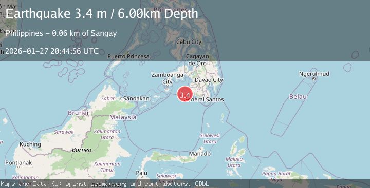
A 3.4 magnitude earthquake struck on MORO GULF, MINDANAO, PHILIPPINES, at Tue, 27 Jan 2026 20:44:56 GMT. Depth: 6km. Reviewed by PIVS seismologists, this minor quake occurred at a magnitude type of m.
Magnitude
3.4
m
Source
PIVS
Intensity
-
Agency Reports
1 Sources| Source | Magnitude | Depth | Time |
|---|---|---|---|
| PIVSPrimary | 3.4 | 6 km | 3 hours ago |
Earthquake Details
AutomaticEvent IDemsc_PIVS_20260127_0000394
Tsunami PotentialNo
Magnitude Typem
Nearest Places
- Sangay Point55.8 km
- Tuna Point55.9 km
- Kiponget56.0 km
- Heart Break Beach56.1 km
- Donauang Island56.2 km
Comments
Join the discussion about this event.
Latest Earthquakes
1.3Mag
37 km NW of Stanton, Texas
Time3 hours ago
Depth8.80 km
SourceUSGS (Automatic)
2.5Mag
SOUTHERN ALASKA
Time3 hours ago
Depth54.10 km
SourceAK (Automatic)
2.0Mag
52 km SSE of Denali National Park, Alaska
Time3 hours ago
Depth5.00 km
SourceUSGS (Automatic)
1.6Mag
11 km W of Pine Valley, CA
Time3 hours ago
Depth16.83 km
SourceUSGS (Automatic)
3.5Mag
CRETE, GREECE
Time3 hours ago
Depth10.00 km
SourceTHE (Automatic)
Nearby Earthquakes
5.3Mag
MORO GULF, MINDANAO, PHILIPPINES
Time4 hours ago
Depth25.00 km
SourcePIVS (Automatic)
4.8Mag
Mindanao, Philippines
Time6 days ago
Depth10.00 km
SourceBMKG (Automatic)
4.3Mag
Mindanao, Philippines
Time1 day ago
Depth116.84 km
SourceBMKG (Automatic)
3.3Mag
MORO GULF, MINDANAO, PHILIPPINES
Time5 days ago
Depth4.00 km
SourcePIVS (Automatic)
3.0Mag
MORO GULF, MINDANAO, PHILIPPINES
Time6 days ago
Depth24.00 km
SourcePIVS (Automatic)