Earthquake Northern Sumatra, Indonesia
Thu, 29 Jan 2026 13:02:05 GMT
Time4 hours ago
Location
4.1305, 97.4119
Depth
5.0 KM
Event Summary
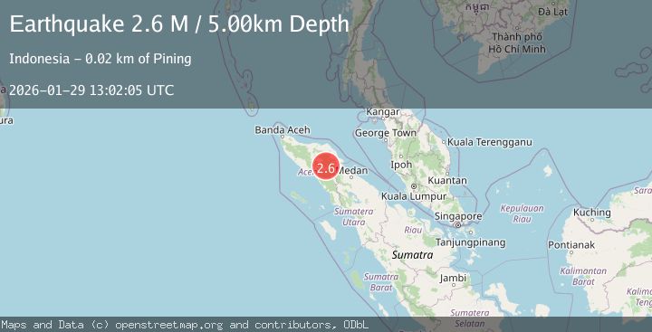
A 2.2 magnitude earthquake struck on Northern Sumatra, Indonesia, at Thu, 29 Jan 2026 13:02:05 GMT. Depth: 5km. Reviewed by BMKG seismologists, this minor quake occurred at a magnitude type of M.
Magnitude
2.2
M
Source
BMKG
Intensity
-
Agency Reports
1 Sources| Source | Magnitude | Depth | Time |
|---|---|---|---|
| BMKGPrimary | 2.2 | 5 km | 4 hours ago |
Earthquake Details
AutomaticEvent IDbmg2026cadx
Tsunami PotentialNo
Magnitude TypeM
Nearest Places
- Burni Apitan0.8 km
- Burni Siluman2.6 km
- Burni Gajah3.1 km
- Burni Pepelar3.5 km
- Gampong Gajah4.0 km
Comments
Join the discussion about this event.
Latest Earthquakes
1.1Mag
2 km NW of The Geysers, CA
Time4 hours ago
Depth1.09 km
SourceUSGS (Automatic)
0.7Mag
4 km WNW of Borrego Springs, CA
Time4 hours ago
Depth5.10 km
SourceUSGS (Automatic)
2.1Mag
WESTERN TURKEY
Time4 hours ago
Depth15.10 km
SourceKOERI (Automatic)
2.6Mag
WESTERN TURKEY
Time4 hours ago
Depth10.00 km
SourceKOERI (Automatic)
2.2Mag
Seram, Indonesia
Time4 hours ago
Depth3.76 km
SourceBMKG (Automatic)
Nearby Earthquakes
2.2Mag
Northern Sumatra, Indonesia
Time5 days ago
Depth2.00 km
SourceBMKG (Automatic)
2.7Mag
Northern Sumatra, Indonesia
Time2 days ago
Depth0.60 km
SourceBMKG (Automatic)
2.8Mag
Northern Sumatra, Indonesia
Time1 week ago
Depth5.00 km
SourceBMKG (Automatic)
2.4Mag
Northern Sumatra, Indonesia
Time4 days ago
Depth5.00 km
SourceBMKG (Automatic)
4.3Mag
Northern Sumatra, Indonesia
Time1 week ago
Depth10.00 km
SourceBMKG (Automatic)