Earthquake 2 km NW of The Geysers, CA
Thu, 29 Jan 2026 13:00:09 GMT
Time4 hours ago
Location
38.7915, -122.7762
Depth
1.1 KM
Event Summary
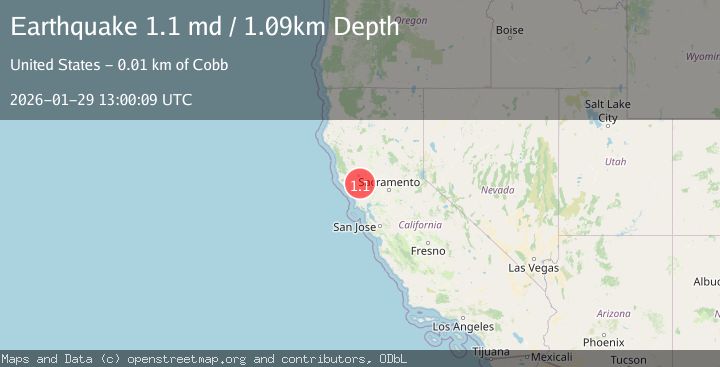
A 1.1 magnitude earthquake struck on 2 km NW of The Geysers, CA, at Thu, 29 Jan 2026 13:00:09 GMT. Depth: 1.0900000333786km. Reviewed by USGS seismologists, this minor quake occurred at a magnitude type of md.
Magnitude
1.1
md
Source
USGS
Intensity
-
Agency Reports
1 Sources| Source | Magnitude | Depth | Time |
|---|---|---|---|
| USGSPrimary | 1.1 | 1 km | 4 hours ago |
Earthquake Details
AutomaticEvent IDusgs_nc75303746
Tsunami PotentialNo
Magnitude Typemd
Nearest Places
- Burned Mountain0.6 km
- Hot Springs Creek0.7 km
- Dianna Rock1.5 km
- Cobb Creek1.6 km
- Smudgeo Number 1 Heliport2.1 km
Comments
Join the discussion about this event.
Latest Earthquakes
1.9Mag
138 km SSE of McCarthy, Alaska
Time6 minutes ago
Depth19.30 km
SourceUSGS (Automatic)
3.5Mag
Southwest of Sumatra, Indonesia
Time18 minutes ago
Depth27.10 km
SourceBMKG (Automatic)
2.3Mag
West Papua Region, Indonesia
Time22 minutes ago
Depth14.18 km
SourceBMKG (Automatic)
1.3Mag
4 km S of Brawley, CA
Time23 minutes ago
Depth5.56 km
SourceUSGS (Automatic)
3.3Mag
PUERTO RICO REGION
Time27 minutes ago
Depth20.70 km
SourcePR (Automatic)
Nearby Earthquakes
1.6Mag
2 km NW of The Geysers, CA
Time1 day ago
Depth1.46 km
SourceUSGS (Automatic)
1.3Mag
2 km NW of The Geysers, CA
Time1 day ago
Depth1.49 km
SourceUSGS (Automatic)
1.3Mag
3 km NW of The Geysers, CA
Time6 days ago
Depth3.25 km
SourceUSGS (Automatic)
1.6Mag
2 km NNW of The Geysers, CA
Time6 days ago
Depth1.11 km
SourceUSGS (Automatic)
1.0Mag
4 km NW of The Geysers, CA
Time8 hours ago
Depth2.91 km
SourceUSGS (Automatic)