Earthquake Northern Sumatra, Indonesia
Fri, 30 Jan 2026 00:46:10 GMT
Time1 hour ago
Location
4.1915, 97.4488
Depth
10.0 KM
Event Summary
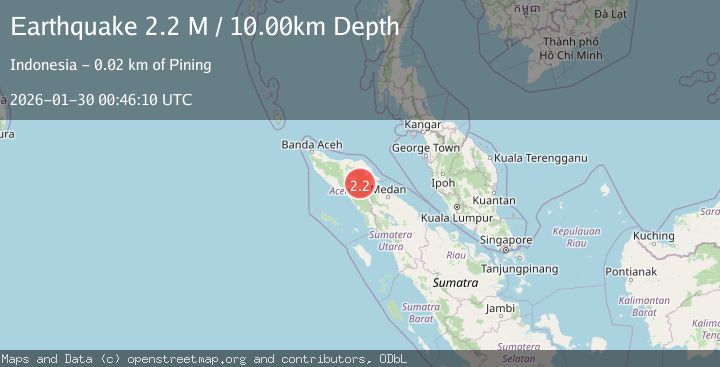
A 2.2 magnitude earthquake struck on Northern Sumatra, Indonesia, at Fri, 30 Jan 2026 00:46:10 GMT. Depth: 10km. Reviewed by BMKG seismologists, this minor quake occurred at a magnitude type of M.
Magnitude
2.2
M
Source
BMKG
Intensity
-
Agency Reports
1 Sources| Source | Magnitude | Depth | Time |
|---|---|---|---|
| BMKGPrimary | 2.2 | 10 km | 1 hour ago |
Earthquake Details
AutomaticEvent IDbmg2026cbbc
Tsunami PotentialNo
Magnitude TypeM
Nearest Places
- Gunung Lojang1.6 km
- Gunung Aber2.0 km
- Gunung Gemiring2.4 km
- Gunung Lembu3.7 km
- Arul Pepelah3.7 km
Comments
Join the discussion about this event.
Latest Earthquakes
0.7Mag
18 km E of Julian, CA
Time1 hour ago
Depth6.01 km
SourceUSGS (Automatic)
3.5Mag
West Papua Region, Indonesia
Time1 hour ago
Depth44.97 km
SourceBMKG (Automatic)
0.6Mag
15 km E of Coso Junction, CA
Time1 hour ago
Depth0.99 km
SourceUSGS (Automatic)
3.4Mag
NEAR EAST COAST OF HONSHU, JAPAN
Time1 hour ago
Depth50.00 km
SourceJMA (Automatic)
1.7Mag
SLOVENIA
Time1 hour ago
Depth0.00 km
SourceARSO (Automatic)
Nearby Earthquakes
2.4Mag
Northern Sumatra, Indonesia
Time4 days ago
Depth5.00 km
SourceBMKG (Automatic)
2.2Mag
Northern Sumatra, Indonesia
Time1 week ago
Depth1.65 km
SourceBMKG (Automatic)
2.4Mag
Northern Sumatra, Indonesia
Time2 days ago
Depth1.40 km
SourceBMKG (Automatic)
2.7Mag
Northern Sumatra, Indonesia
Time2 days ago
Depth0.60 km
SourceBMKG (Automatic)
2.6Mag
Northern Sumatra, Indonesia
Time13 hours ago
Depth5.00 km
SourceBMKG (Automatic)