Earthquake South of Bali, Indonesia
Fri, 30 Jan 2026 03:36:56 GMT
Time1 hour ago
Location
-9.4365, 115.1000
Depth
62.9 KM
Event Summary
A 2.3 magnitude earthquake struck on South of Bali, Indonesia, at Fri, 30 Jan 2026 03:36:56 GMT. Depth: 62.94km. Reviewed by BMKG seismologists, this minor quake occurred at a magnitude type of M.
Magnitude
2.3
M
Source
BMKG
Intensity
-
Agency Reports
1 Sources| Source | Magnitude | Depth | Time |
|---|---|---|---|
| BMKGPrimary | 2.3 | 63 km | 1 hour ago |
Earthquake Details
AutomaticEvent IDbmg2026cbgt
Tsunami PotentialNo
Magnitude TypeM
Nearest Places
- Tukad Jelijih65.7 km
- The Edge65.7 km
- Alila Villas65.7 km
- Alila Villas Uluwatu65.7 km
- Tukad Pangpang65.8 km
Comments
Join the discussion about this event.
Latest Earthquakes
3.9Mag
Sumba Region, Indonesia
Time1 hour ago
Depth10.00 km
SourceBMKG (Automatic)
1.4Mag
WESTERN TURKEY
Time1 hour ago
Depth10.20 km
SourceEMSC (Automatic)
1.5Mag
11 km W of Forsan, Texas
Time1 hour ago
Depth2.97 km
SourceUSGS (Automatic)
0.8Mag
18 km NNE of Indio, CA
Time1 hour ago
Depth5.21 km
SourceUSGS (Automatic)
3.1Mag
South of Sumbawa, Indonesia
Time1 hour ago
Depth10.00 km
SourceBMKG (Automatic)
Nearby Earthquakes
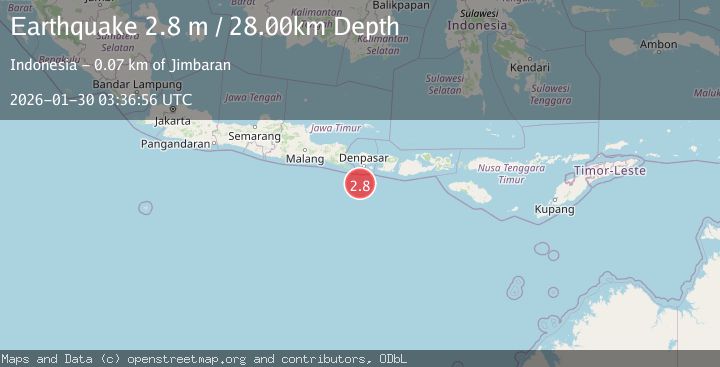
2.8Mag
South of Bali, Indonesia
Time3 days ago
Depth10.00 km
SourceBMKG (Automatic)
2.5Mag
South of Bali, Indonesia
Time5 days ago
Depth11.63 km
SourceBMKG (Automatic)
2.6Mag
South of Bali, Indonesia
Time4 days ago
Depth19.30 km
SourceBMKG (Automatic)
2.4Mag
South of Bali, Indonesia
Time5 days ago
Depth10.00 km
SourceBMKG (Automatic)
2.6Mag
South of Bali, Indonesia
Time3 days ago
Depth158.81 km
SourceBMKG (Automatic)