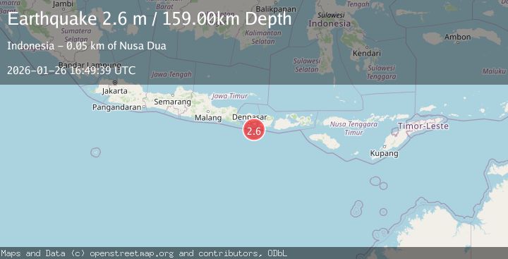
Earthquake South of Bali, Indonesia
Mon, 26 Jan 2026 16:49:39 GMT
Time17 hours ago
Location
-9.0933, 115.5259
Depth
158.8 KM
Event Summary
A 2.6 magnitude earthquake struck on South of Bali, Indonesia, at Mon, 26 Jan 2026 16:49:39 GMT. Depth: 158.805618km. Reviewed by BMKG seismologists, this minor quake occurred at a magnitude type of M.
Magnitude
2.6
M
Source
BMKG
Intensity
-
Agency Reports
1 Sources| Source | Magnitude | Depth | Time |
|---|---|---|---|
| BMKGPrimary | 2.6 | 159 km | 17 hours ago |
Earthquake Details
AutomaticEvent IDbmg2026buyw
Tsunami PotentialNo
Magnitude TypeM
Nearest Places
- Tanjung Bakung31.2 km
- Tukad Tumpanggintungan31.6 km
- Teluk Sedihing31.6 km
- Tukad Dere31.7 km
- Bukit Bakung31.9 km
Comments
Join the discussion about this event.
Latest Earthquakes
1.8Mag
11 km NNW of Mojave, CA
Time17 hours ago
Depth8.60 km
SourceUSGS (Automatic)
2.6Mag
FLORES REGION, INDONESIA
Time18 hours ago
Depth153.00 km
SourceBMKG (Automatic)
2.1Mag
Sumbawa Region, Indonesia
Time18 hours ago
Depth116.53 km
SourceBMKG (Automatic)
2.9Mag
86 km W of Petrolia, CA
Time18 hours ago
Depth20.24 km
SourceUSGS (Automatic)
5.4Mag
KERMADEC ISLANDS, NEW ZEALAND
Time18 hours ago
Depth52.00 km
SourceEMSC (Automatic)
Nearby Earthquakes
2.2Mag
Bali Region, Indonesia
Time3 days ago
Depth84.98 km
SourceBMKG (Automatic)
2.9Mag
South of Bali, Indonesia
Time3 days ago
Depth27.22 km
SourceBMKG (Automatic)
2.5Mag
South of Bali, Indonesia
Time2 days ago
Depth11.63 km
SourceBMKG (Automatic)
2.6Mag
South of Bali, Indonesia
Time1 day ago
Depth19.30 km
SourceBMKG (Automatic)
2.5Mag
Bali Region, Indonesia
Time6 days ago
Depth90.70 km
SourceBMKG (Automatic)