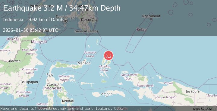
Earthquake Halmahera, Indonesia
Fri, 30 Jan 2026 03:42:05 GMT
Time1 hour ago
Location
2.3687, 128.4285
Depth
38.9 KM
Event Summary
A 2.7 magnitude earthquake struck on Halmahera, Indonesia, at Fri, 30 Jan 2026 03:42:05 GMT. Depth: 38.855927km. Reviewed by BMKG seismologists, this minor quake occurred at a magnitude type of M.
Magnitude
2.7
M
Source
BMKG
Intensity
-
Agency Reports
1 Sources| Source | Magnitude | Depth | Time |
|---|---|---|---|
| BMKGPrimary | 2.7 | 39 km | 1 hour ago |
Earthquake Details
AutomaticEvent IDbmg2026cbgx
Tsunami PotentialNo
Magnitude TypeM
Nearest Places
- Pegunungan Ciu4.0 km
- Morotai Island5.5 km
- Pegunungan Sabatai8.0 km
- Desa Cempaka8.4 km
- Desa Cio Dalam10.0 km
Comments
Join the discussion about this event.
Latest Earthquakes
2.5Mag
South of Bali, Indonesia
Time1 hour ago
Depth54.31 km
SourceBMKG (Automatic)
3.9Mag
Sumba Region, Indonesia
Time1 hour ago
Depth10.00 km
SourceBMKG (Automatic)
1.4Mag
WESTERN TURKEY
Time1 hour ago
Depth10.20 km
SourceEMSC (Automatic)
1.5Mag
11 km W of Forsan, Texas
Time1 hour ago
Depth2.97 km
SourceUSGS (Automatic)
0.8Mag
18 km NNE of Indio, CA
Time1 hour ago
Depth5.21 km
SourceUSGS (Automatic)
Nearby Earthquakes
3.5Mag
Halmahera, Indonesia
Time1 week ago
Depth209.55 km
SourceBMKG (Automatic)
2.5Mag
Halmahera, Indonesia
Time2 days ago
Depth132.87 km
SourceBMKG (Automatic)
3.1Mag
HALMAHERA, INDONESIA
Time5 days ago
Depth186.00 km
SourceBMKG (Automatic)
3.0Mag
Halmahera, Indonesia
Time4 days ago
Depth42.06 km
SourceBMKG (Automatic)
2.5Mag
Halmahera, Indonesia
Time6 days ago
Depth109.88 km
SourceBMKG (Automatic)