Earthquake Minahassa Peninsula, Sulawesi
Fri, 30 Jan 2026 16:58:37 GMT
Time1 hour ago
Location
-0.3142, 119.5096
Depth
9.5 KM
Event Summary
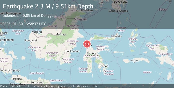
A 2.3 magnitude earthquake struck on Minahassa Peninsula, Sulawesi, at Fri, 30 Jan 2026 16:58:37 GMT. Depth: 9.514083km. Reviewed by BMKG seismologists, this minor quake occurred at a magnitude type of M.
Magnitude
2.3
M
Source
BMKG
Intensity
-
Agency Reports
1 Sources| Source | Magnitude | Depth | Time |
|---|---|---|---|
| BMKGPrimary | 2.3 | 10 km | 1 hour ago |
Earthquake Details
AutomaticEvent IDbmg2026cche
Tsunami PotentialNo
Magnitude TypeM
Nearest Places
- Tanjung Sioti27.6 km
- Bamba27.8 km
- Kuala Alindau27.9 km
- Oti27.9 km
- Teluk Alindau28.2 km
Comments
Join the discussion about this event.
Latest Earthquakes
1.1Mag
3 km SE of The Geysers, CA
Time1 hour ago
Depth1.65 km
SourceUSGS (Automatic)
2.5Mag
Minahassa Peninsula, Sulawesi
Time1 hour ago
Depth21.70 km
SourceBMKG (Automatic)
2.2Mag
Near North Coast of West Papua
Time2 hours ago
Depth76.71 km
SourceBMKG (Automatic)
1.5Mag
11 km W of Forsan, Texas
Time2 hours ago
Depth3.53 km
SourceUSGS (Automatic)
2.1Mag
Sumba Region, Indonesia
Time2 hours ago
Depth17.97 km
SourceBMKG (Automatic)
Nearby Earthquakes
2.4Mag
Minahassa Peninsula, Sulawesi
Time5 days ago
Depth3.37 km
SourceBMKG (Automatic)
2.5Mag
Minahassa Peninsula, Sulawesi
Time2 days ago
Depth5.00 km
SourceBMKG (Automatic)
2.3Mag
Minahassa Peninsula, Sulawesi
Time1 week ago
Depth12.26 km
SourceBMKG (Automatic)
4.4Mag
Minahassa Peninsula, Sulawesi
Time6 days ago
Depth5.61 km
SourceBMKG (Automatic)
2.2Mag
Minahassa Peninsula, Sulawesi
Time1 week ago
Depth10.34 km
SourceBMKG (Automatic)