Earthquake Near North Coast of West Papua
Fri, 30 Jan 2026 16:51:11 GMT
Time3 hours ago
Location
-2.7805, 139.2807
Depth
76.7 KM
Event Summary
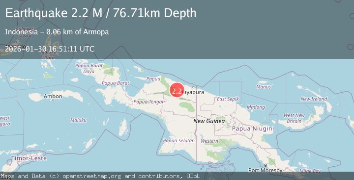
A 2.2 magnitude earthquake struck on Near North Coast of West Papua, at Fri, 30 Jan 2026 16:51:11 GMT. Depth: 76.709137km. Reviewed by BMKG seismologists, this minor quake occurred at a magnitude type of M.
Magnitude
2.2
M
Source
BMKG
Intensity
-
Agency Reports
1 Sources| Source | Magnitude | Depth | Time |
|---|---|---|---|
| BMKGPrimary | 2.2 | 77 km | 3 hours ago |
Earthquake Details
AutomaticEvent IDbmg2026ccgy
Tsunami PotentialNo
Magnitude TypeM
Nearest Places
- Distrik Pantai Timur5.8 km
- Kampung Komra9.4 km
- Kampung Betaf Dua10.1 km
- Pegunungan Karamoor17.9 km
- Kampung Betaf19.7 km
Comments
Join the discussion about this event.
Latest Earthquakes
1.5Mag
11 km W of Forsan, Texas
Time3 hours ago
Depth3.53 km
SourceUSGS (Automatic)
2.1Mag
Sumba Region, Indonesia
Time3 hours ago
Depth17.97 km
SourceBMKG (Automatic)
2.9Mag
OFFSHORE EL SALVADOR
Time3 hours ago
Depth36.00 km
SourceINET (Automatic)
2.0Mag
Sumbawa Region, Indonesia
Time3 hours ago
Depth23.59 km
SourceBMKG (Automatic)
2.7Mag
OFFSHORE GUATEMALA
Time3 hours ago
Depth23.00 km
SourceINET (Automatic)
Nearby Earthquakes
3.5Mag
Near North Coast of West Papua
Time5 days ago
Depth67.58 km
SourceBMKG (Automatic)
3.4Mag
Near North Coast of West Papua
Time13 hours ago
Depth10.00 km
SourceBMKG (Automatic)
2.8Mag
PAPUA, INDONESIA
Time1 week ago
Depth47.00 km
SourceBMKG (Automatic)
3.5Mag
Near North Coast of West Papua
Time4 days ago
Depth9.75 km
SourceBMKG (Automatic)
3.2Mag
PAPUA, INDONESIA
Time5 days ago
Depth30.00 km
SourceBMKG (Automatic)